![](/images/other/stat-length.png)
- Touren
- Zu Fuß
- United Kingdom
- England
- Derbyshire
- Amber Valley
Amber Valley, Derbyshire, Zu Fuß: Die besten Touren, Trails, Trecks und Wanderungen
Amber Valley : Entdecken Sie die besten Touren : 4 zu fuß. Alle diese Touren, Trails, Routen und Outdoor-Aktivitäten sind in unseren SityTrail-Apps für Smartphones und Tablets verfügbar.
Die besten Spuren (4)
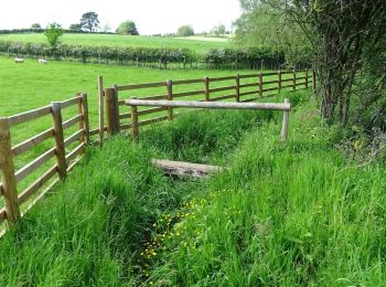
![Tour Zu Fuß Amber Valley - Broxtowe Country Trail - Photo](https://media.geolcdn.com/t/350/260/23e0ad2a-6ecf-4e98-b667-9d2f9d110d34.jpeg&format=jpg&maxdim=2)
![Zu Fuß Zu Fuß](https://static1.geolcdn.com/sitytour/trail-icons/100.png)
Km
Zu Fuß
![](/images/other/stat-length.png)
![](https://static1.geolcdn.com/siteimages/upload/files/1508320355ic_sort_den_pos_24dp.png)
![](https://static1.geolcdn.com/siteimages/upload/files/1508320355ic_sort_den_neg_24dp.png)
![](https://static1.geolcdn.com/siteimages/upload/files/16400158638029165_repeat_loop_refresh_sync_direction_icon.png)
• Signage in the centre of Kimberley is confusing. Route appears to split depending on direction of travel due to onewa...
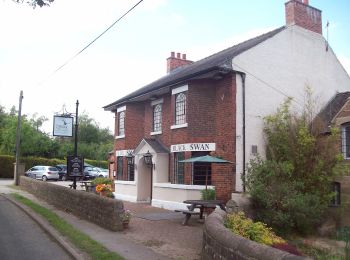
![Tour Zu Fuß Amber Valley - Amber Valley Routeways Walk 12 - Photo](https://media.geolcdn.com/t/350/260/880d3f46-7b6b-4c8f-90d3-8e588259fcd1.jpeg&format=jpg&maxdim=2)
![Zu Fuß Zu Fuß](https://static1.geolcdn.com/sitytour/trail-icons/100.png)
Km
Zu Fuß
![](/images/other/stat-length.png)
![](https://static1.geolcdn.com/siteimages/upload/files/1508320355ic_sort_den_pos_24dp.png)
![](https://static1.geolcdn.com/siteimages/upload/files/1508320355ic_sort_den_neg_24dp.png)
![](https://static1.geolcdn.com/siteimages/upload/files/16400158638029165_repeat_loop_refresh_sync_direction_icon.png)
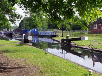
![Tour Zu Fuß Amber Valley - Amber Valley Routeway Walk 1 - Photo](https://media.geolcdn.com/t/350/260/ef974cbb-8e9d-41c6-8fcd-d1aa8706949c.jpeg&format=jpg&maxdim=2)
![Zu Fuß Zu Fuß](https://static1.geolcdn.com/sitytour/trail-icons/100.png)
Km
Zu Fuß
![](/images/other/stat-length.png)
![](https://static1.geolcdn.com/siteimages/upload/files/1508320355ic_sort_den_pos_24dp.png)
![](https://static1.geolcdn.com/siteimages/upload/files/1508320355ic_sort_den_neg_24dp.png)
![](https://static1.geolcdn.com/siteimages/upload/files/16400158638029165_repeat_loop_refresh_sync_direction_icon.png)
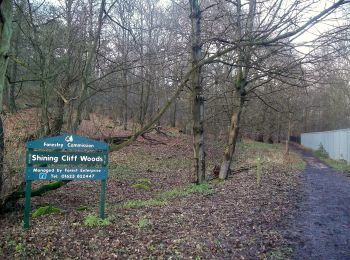
![Tour Zu Fuß Amber Valley - Eadric's Way (red) - Photo](https://media.geolcdn.com/t/350/260/cedc5b09-b9e5-45ad-ad51-6e762a8517c9.jpeg&format=jpg&maxdim=2)
![Zu Fuß Zu Fuß](https://static1.geolcdn.com/sitytour/trail-icons/100.png)
Km
Zu Fuß
![](/images/other/stat-length.png)
![](https://static1.geolcdn.com/siteimages/upload/files/1508320355ic_sort_den_pos_24dp.png)
![](https://static1.geolcdn.com/siteimages/upload/files/1508320355ic_sort_den_neg_24dp.png)
![](https://static1.geolcdn.com/siteimages/upload/files/16400158638029165_repeat_loop_refresh_sync_direction_icon.png)
• There is a slightly longer and a slightly shorter version of this. This is the shorter one.
4 Angezeigte Touren bei 4
Kostenlosegpshiking-Anwendung