


11,9 km | 13,1 km-effort
Essex : Entdecken Sie die besten Touren : 15 zu fuß und 1 pfad. Alle diese Touren, Trails, Routen und Outdoor-Aktivitäten sind in unseren SityTrail-Apps für Smartphones und Tablets verfügbar.
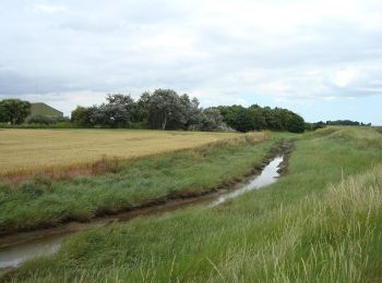
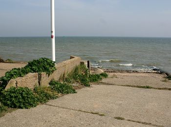
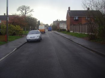
Zu Fuß


• Symbol: pair of pistols
Zu Fuß
• Symbol: pair of pistols
Zu Fuß
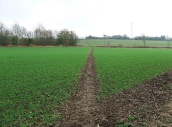
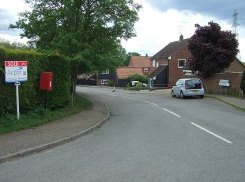
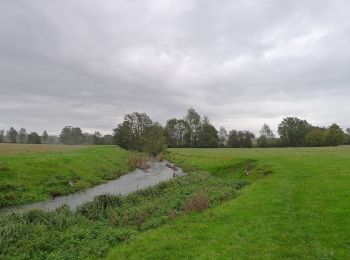
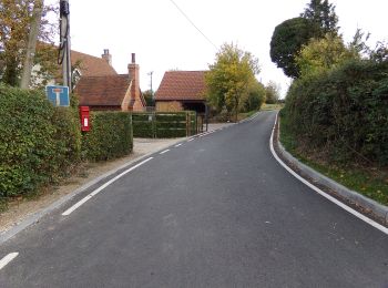
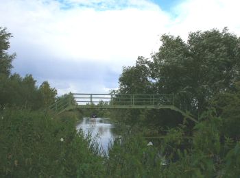
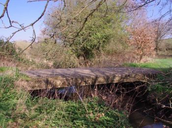
• Approximately 14-15 miles in length, the Colchester Orbital is a circular walk/cycle route around the periphery of th...
Zu Fuß
• Website: https://www.walkcolchester.org.uk/the-colchester-orbital
Zu Fuß
Zu Fuß
Zu Fuß

Zu Fuß
Zu Fuß
Zu Fuß
Zu Fuß
Zu Fuß
Zu Fuß
Zu Fuß
Zu Fuß

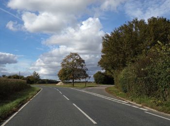
Pfad
16 Angezeigte Touren bei 16
Kostenlosegpshiking-Anwendung
 SityTrail
IGN / Geografische Institute
SityTrail World
Die Welt öffnet sich für Sie