


29 km | 63 km-effort
Gwynedd : Entdecken Sie die besten Touren : 11 zu fuß und 9 wandern. Alle diese Touren, Trails, Routen und Outdoor-Aktivitäten sind in unseren SityTrail-Apps für Smartphones und Tablets verfügbar.
Zu Fuß


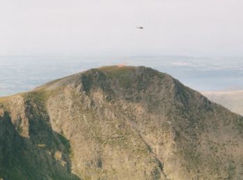
• Traditional route is S-to-N, summit to summit Website: https://www.welsh3000s.co.uk/
Zu Fuß
• Tour erstellt von Forestry Commission. Symbol: blue footprint
Wandern
Zu Fuß
Zu Fuß
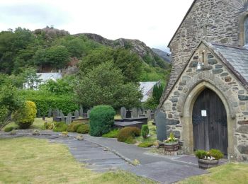
• Website: http://www.taithardudwyway.com
Zu Fuß
Zu Fuß
Zu Fuß
Zu Fuß
Zu Fuß
Zu Fuß
Zu Fuß
Wandern
Wandern
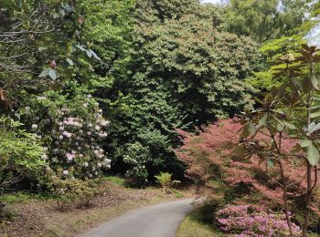
• Tranquille
Wandern
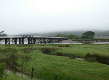
• Un beau chemin ce matin avec une bonne pluie, pas mieux.

Wandern
• Un beau chemin ce matin avec une bonne pluie, pas mieux.

Wandern
Wandern
Wandern
Wandern
20 Angezeigte Touren bei 20
Kostenlosegpshiking-Anwendung
 SityTrail
IGN / Geografische Institute
SityTrail World
Die Welt öffnet sich für Sie