


6,8 km | 14,9 km-effort
Südprovinz : Entdecken Sie die besten Touren : 2 zu fuß, 21 wandern und 2 laufen. Alle diese Touren, Trails, Routen und Outdoor-Aktivitäten sind in unseren SityTrail-Apps für Smartphones und Tablets verfügbar.

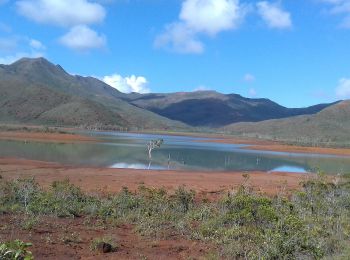
Wandern


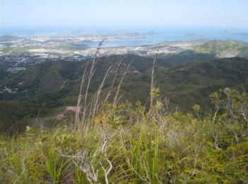
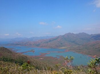
• Une très belle vue sur Nouméa. Attention à la descente technique !
Zu Fuß
• Autorisation de Ludovic FRIT
Wandern
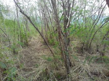
Wandern
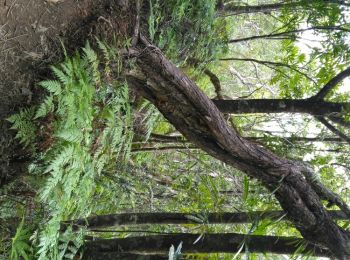
• A une vingtaine de minutes de Nouméa, cette petite randonnée bien sympathique permet de marcher dans la forêt avant d...

Wandern
• Direction Dumbea, sur route de Koé. Se garer au niveau du parking du diable. Randonnée très facile à faire y/c avec d...
Wandern
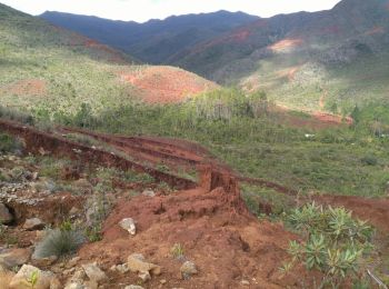
• Située sur la commune du Mont-Dore, cette rando n'est pas vraiment balisée (quelques fanions ici ou là) et nécessité ...
Wandern
Wandern
Wandern
Wandern

Zu Fuß
• https://tracedetrail.fr/fr/trace/trace/68555

Wandern
Wandern
• Difficile par la distance mais pas de grosses montées

Wandern
Wandern
Wandern
• balade familiale
Wandern
Wandern
Wandern
Wandern
20 Angezeigte Touren bei 25
Kostenlosegpshiking-Anwendung
 SityTrail
IGN / Geografische Institute
SityTrail World
Die Welt öffnet sich für Sie