


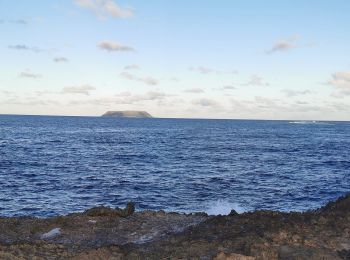
6,7 km | 7,5 km-effort
Unbekannt : Entdecken Sie die besten Touren : 19 zu fuß, 670 wandern, 102 nordic walking, 46 laufen und 233 pfad. Alle diese Touren, Trails, Routen und Outdoor-Aktivitäten sind in unseren SityTrail-Apps für Smartphones und Tablets verfügbar.
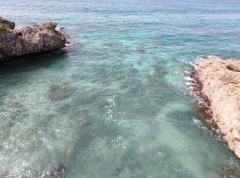
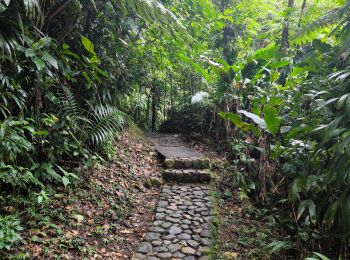
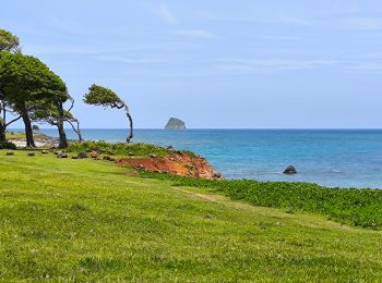
Wandern


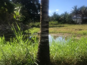
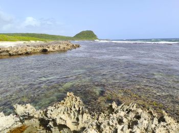
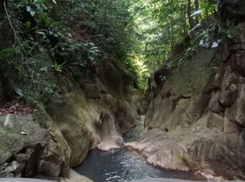
Wandern
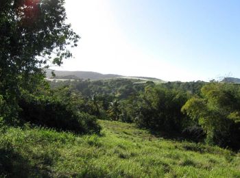
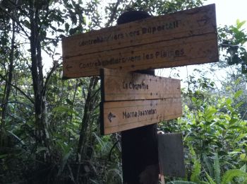
Nordic Walking
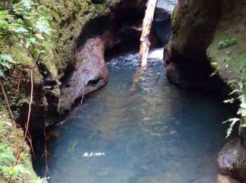
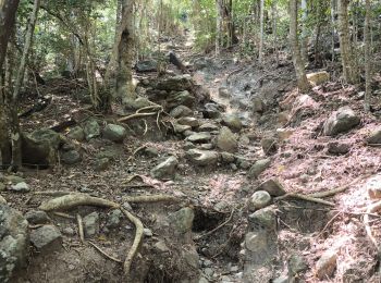
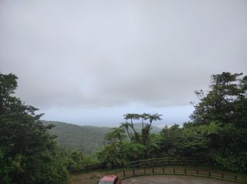
Wandern
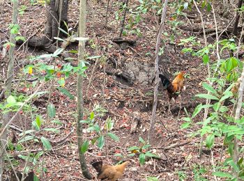
Wandern

Wandern
Wandern
Wandern

Wandern

Wandern
Wandern
Wandern
Wandern

Wandern

Wandern
Wandern
Wandern
Wandern
Zu Fuß
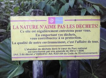
• Trail created by Parc National de la Guadeloupe. Website: http://www.randoguadeloupe.gp/pedestre/sentier-de-la-poi...
Zu Fuß
• Trail created by Parc national de la Guadeloupe. Website: http://www.randoguadeloupe.gp/pedestre/trace-des-ruisseaux/
20 Angezeigte Touren bei 1067
Kostenlosegpshiking-Anwendung
 SityTrail
IGN / Geografische Institute
SityTrail World
Die Welt öffnet sich für Sie