


14,6 km | 27 km-effort
Macaye : Entdecken Sie die besten Touren : 9 wandern, 2 laufen und 73 pfad. Alle diese Touren, Trails, Routen und Outdoor-Aktivitäten sind in unseren SityTrail-Apps für Smartphones und Tablets verfügbar.
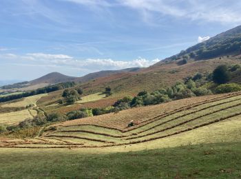
Wandern


Wandern
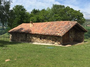
Wandern
Wandern

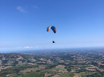
Pfad
Pfad

Wandern
• boucle avec de beaux paysages
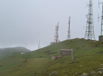
Pfad
Pfad
Pfad
Pfad
Pfad
Pfad
Pfad
Pfad
Pfad
Pfad
Pfad
Wandern
Pfad
20 Angezeigte Touren bei 84
Kostenlosegpshiking-Anwendung
 SityTrail
IGN / Geografische Institute
SityTrail World
Die Welt öffnet sich für Sie