


9,8 km | 13,1 km-effort
Darnétal : Entdecken Sie die besten Touren : 12 zu fuß und 54 wandern. Alle diese Touren, Trails, Routen und Outdoor-Aktivitäten sind in unseren SityTrail-Apps für Smartphones und Tablets verfügbar.

Wandern


Wandern
Wandern

Wandern
Wandern
Wandern
Wandern
Wandern
• départ stade des violettes
Wandern

Wandern

Wandern
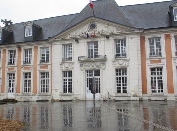
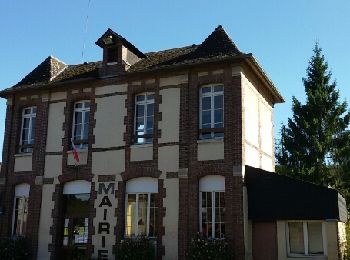
• Boucle A-R au départ de la Mairie de Darnetal

Wandern
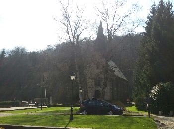
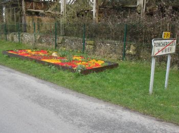
• Départ de la place du Général de Gaulle de Darnétal la rue des Petites eaux du Robec et l'église St Ouen

Zu Fuß
• Départ de la place du Général de Gaulle vers la rue des Faulx, AD rue des boucheries St Ouen, AG Rue Eau de Robec. AG...

Zu Fuß
• Boucle A-R au départ de la Mairie de Darnétal
Wandern

Wandern
• Boucle A-R au départ de la Mairie de Darnétal

Wandern
• Boucle A-R au départ de la Mairie de Darnetal

Wandern
• départ Stade des Violettes CHEMIN DU FOUR A CHAUX ROUTE DE GOURNAY 76160 DARNÉTAL.
Wandern
• Boucle A-R au Départ du Stade des Violettes de Darnétal
Wandern
20 Angezeigte Touren bei 66
Kostenlosegpshiking-Anwendung
 SityTrail
IGN / Geografische Institute
SityTrail World
Die Welt öffnet sich für Sie