


7,2 km | 9,5 km-effort
Mas-d'Orcières : Entdecken Sie die besten Touren : 1 zu fuß, 36 wandern und 1 pfad. Alle diese Touren, Trails, Routen und Outdoor-Aktivitäten sind in unseren SityTrail-Apps für Smartphones und Tablets verfügbar.
Wandern


Wandern
• Cette randonnée a été faite avec un guide expérimenté. Si vous suivez la trace enregistrée il est possible de la fair...
Wandern
Wandern
Wandern

Wandern
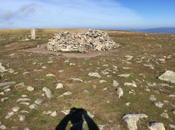
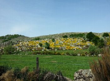
• splendide
Wandern
Wandern
Wandern
Wandern
Wandern
Wandern
Wandern
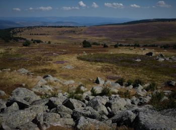
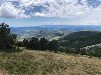
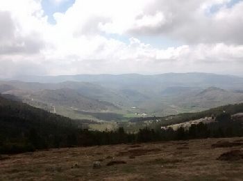
• les sommets du mont Lozere
Wandern
Wandern
Wandern
Wandern
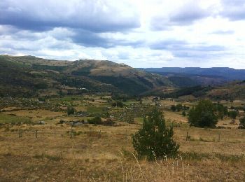
• 6h:30 | 18.1km A/R 6h:30 | 18.1km A/R Longueur - 18.1km Points - 715 Créé - 2012-08-03 09:30:37 Vitesse Max - 127km/...
Wandern
Wandern
Wandern
20 Angezeigte Touren bei 38
Kostenlosegpshiking-Anwendung
 SityTrail
IGN / Geografische Institute
SityTrail World
Die Welt öffnet sich für Sie