


25 km | 32 km-effort
Saint-Côme-d'Olt : Entdecken Sie die besten Touren : 5 zu fuß und 51 wandern. Alle diese Touren, Trails, Routen und Outdoor-Aktivitäten sind in unseren SityTrail-Apps für Smartphones und Tablets verfügbar.
Wandern


Wandern

Wandern
Wandern
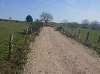
• Belle itinéraire avec deux montées bien raides mais pas trop longue !!! Plusieurs possibilités d'arrêt et ravitaillem...
Wandern
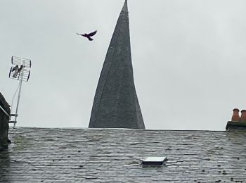
• Saint Jacques

Wandern
Wandern

Wandern

Wandern
Wandern
Wandern
Wandern
Wandern
Wandern

Wandern
Wandern
Wandern
Wandern
Wandern
Wandern
• Le long du lot - les belles églises - la montée qui tue
20 Angezeigte Touren bei 56
Kostenlosegpshiking-Anwendung
 SityTrail
IGN / Geografische Institute
SityTrail World
Die Welt öffnet sich für Sie