


7,7 km | 20 km-effort
Bordes-Uchentein : Entdecken Sie die besten Touren : 1 zu fuß, 56 wandern und 3 laufen. Alle diese Touren, Trails, Routen und Outdoor-Aktivitäten sind in unseren SityTrail-Apps für Smartphones und Tablets verfügbar.

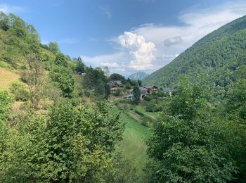
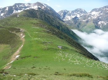
Wandern


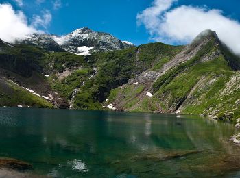
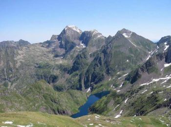
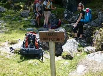
• Jour 1 : Monter à l'étang Long par le col de Barlonguère. Bivouac au bout de l'étang. Source pas loin. Jour 2 : Monte...
Wandern
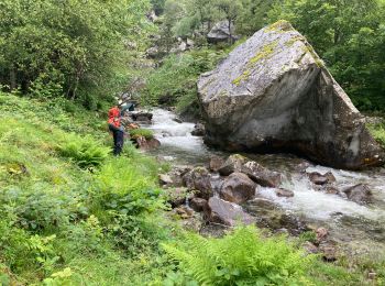
Zu Fuß
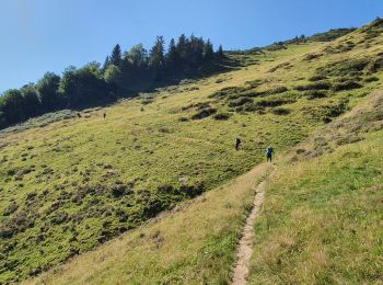
Laufen
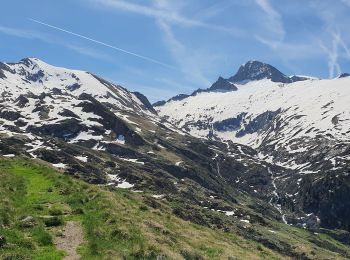
Wandern
Wandern
Wandern
Wandern
Wandern
Wandern
Wandern

Laufen
Wandern
Wandern
Wandern
Wandern
Wandern
Wandern
Wandern
Wandern
20 Angezeigte Touren bei 60
Kostenlosegpshiking-Anwendung
 SityTrail
IGN / Geografische Institute
SityTrail World
Die Welt öffnet sich für Sie