


11,2 km | 22 km-effort
Suc-et-Sentenac : Entdecken Sie die besten Touren : 22 wandern und 2 laufen. Alle diese Touren, Trails, Routen und Outdoor-Aktivitäten sind in unseren SityTrail-Apps für Smartphones und Tablets verfügbar.
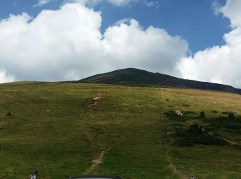
Wandern


• Belle rando. Bivouac possible près du lac. Chemin facile mais attention à la descente sur les crêtes ne pas s écarter...
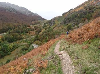
Wandern
• OK

Wandern

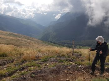
Wandern
Wandern
Wandern
Wandern
Wandern
Wandern
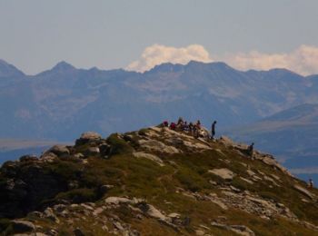
• Si la première partie jusqu'au Lac est facile, il ne faut pas sous estimer la montée au pic des trois seigneurs qui e...

Laufen
Wandern
Wandern
Wandern
Wandern
Wandern
Wandern
Wandern
Wandern
Wandern
Wandern
20 Angezeigte Touren bei 24
Kostenlosegpshiking-Anwendung
 SityTrail
IGN / Geografische Institute
SityTrail World
Die Welt öffnet sich für Sie