


13,6 km | 21 km-effort
Les Plantiers : Entdecken Sie die besten Touren : 2 zu fuß und 34 wandern. Alle diese Touren, Trails, Routen und Outdoor-Aktivitäten sind in unseren SityTrail-Apps für Smartphones und Tablets verfügbar.
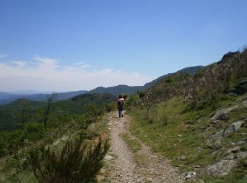
Wandern


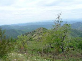
Wandern
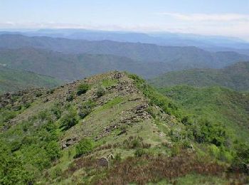
Wandern

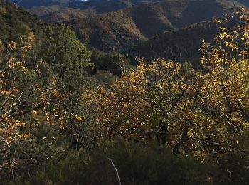
Wandern
Wandern
Wandern
Zu Fuß
• Trail created by Vallé Borgne en Cévennes.
Wandern
Wandern

Wandern
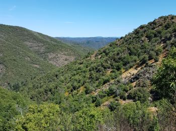
• Très belle promenade au coeur des Cevennes. A ne pas louper si vous passez à coté.

Wandern
Wandern
Wandern
Wandern

Wandern
Wandern
Wandern
Wandern
Wandern
Wandern
20 Angezeigte Touren bei 36
Kostenlosegpshiking-Anwendung
 SityTrail
IGN / Geografische Institute
SityTrail World
Die Welt öffnet sich für Sie