


16,1 km | 26 km-effort
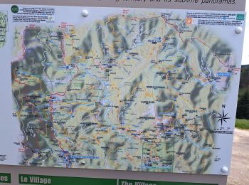
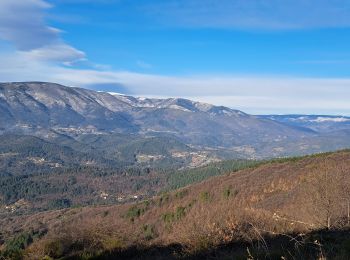
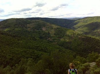
Aujac : Entdecken Sie die besten Touren : 15 wandern. Alle diese Touren, Trails, Routen und Outdoor-Aktivitäten sind in unseren SityTrail-Apps für Smartphones und Tablets verfügbar.
Wandern


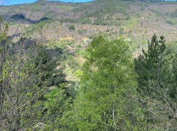
Wandern
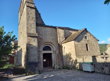
Wandern
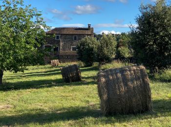
Wandern
Wandern
Wandern

Wandern
• Facile
Wandern
Wandern
• TOUR DES HAMEAUX DE MALONS 19.8 Km - 06:30 - D 600 m Départ randonnée : col du Péras sur la commune d'Aujac (Gard 30)...
Wandern
Wandern
Wandern
Wandern
Wandern
Wandern
• 1,5kl - 30mn
15 Angezeigte Touren bei 15
Kostenlosegpshiking-Anwendung
 SityTrail
IGN / Geografische Institute
SityTrail World
Die Welt öffnet sich für Sie