


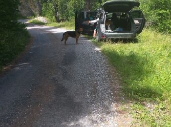
11,9 km | 22 km-effort
Le Lauzet-Ubaye : Entdecken Sie die besten Touren : 4 zu fuß, 54 wandern und 1 nordic walking. Alle diese Touren, Trails, Routen und Outdoor-Aktivitäten sind in unseren SityTrail-Apps für Smartphones und Tablets verfügbar.
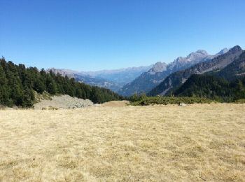
Wandern


• promenade familiale
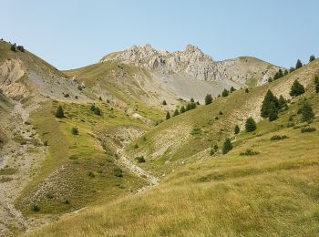
Wandern
Wandern

Wandern

Wandern
Wandern

Wandern

Wandern

Wandern
Wandern

Wandern
Wandern
Wandern

Wandern
Wandern

Wandern
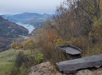
• Gîte restauré par le conservatoire du Littoral. Dominé par les falaises li se trouve à mi hauteur sur le versant méri...

Wandern
• Gîte restauré par le conservatoire du Littoral. Dominé par les falaises li se trouve à mi hauteur sur le versant méri...
Wandern
Wandern
Wandern
20 Angezeigte Touren bei 58
Kostenlosegpshiking-Anwendung
 SityTrail
IGN / Geografische Institute
SityTrail World
Die Welt öffnet sich für Sie