


12,3 km | 21 km-effort
Prads-Haute-Bléone : Entdecken Sie die besten Touren : 2 zu fuß, 61 wandern und 1 pfad. Alle diese Touren, Trails, Routen und Outdoor-Aktivitäten sind in unseren SityTrail-Apps für Smartphones und Tablets verfügbar.
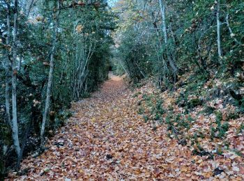
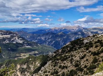
Wandern


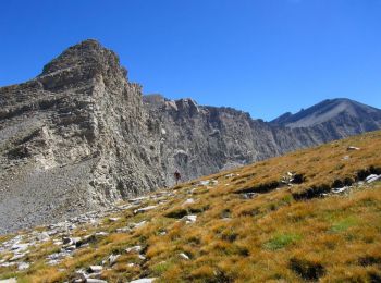
Wandern
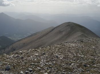
Wandern
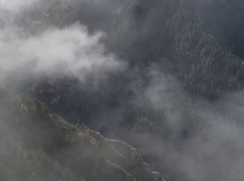
Wandern
Wandern

Wandern
Wandern
Wandern

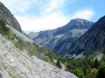
Pfad

Wandern
Wandern
• Sublime!!!
Wandern
Wandern
Wandern

Zu Fuß
• Rando secteur Digne les Bains (Alpes de Haute-Provence) Départ de Saume Longe Rejoindre la cabane de Val Pousane. Crê...
Wandern

Wandern
Wandern
Wandern
Wandern
20 Angezeigte Touren bei 64
 SityTrail