![](/images/other/stat-length.png)
- Touren
- Zu Fuß
- France
- Provence-Alpes-Côte d'Azur
- Alpes-de-Haute-Provence
- Mallefougasse-Augès
- Mallefougasse
Mallefougasse, Mallefougasse-Augès, Zu Fuß: Die besten Touren, Trails, Trecks und Wanderungen
1 kommentare
Mallefougasse : Entdecken Sie die besten Touren : 6 wandern. Alle diese Touren, Trails, Routen und Outdoor-Aktivitäten sind in unseren SityTrail-Apps für Smartphones und Tablets verfügbar.
Die besten Spuren (6)
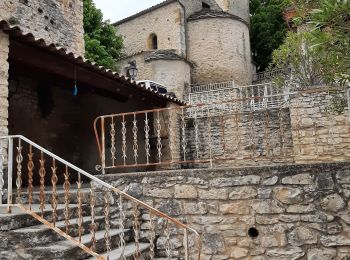
![Tour Wandern Mallefougasse-Augès - MALEFOUGASSE La Ronde des Jas , Jas Figuiere , Aubert , L Ami , Calais , Trou Redon etc o - Photo](https://media.geolcdn.com/t/350/260/47ed88f5-ec00-4e57-8360-d9ab842bcc9a.jpg&format=jpg&maxdim=2)
![Wandern Wandern](https://static1.geolcdn.com/sitytour/trail-icons/101.png)
Km
#1 - MALEFOUGASSE La Ronde des Jas , Jas Figuiere , Aubert , L Ami , Calais , Tr...
Wandern
Medium
(1)
Mallefougasse-Augès,
Provence-Alpes-Côte d'Azur,
Alpes-de-Haute-Provence,
France
![](/images/other/stat-length.png)
13,2 km | 20 km-effort
4h 23min
![](https://static1.geolcdn.com/siteimages/upload/files/1508320355ic_sort_den_pos_24dp.png)
543 m
![](https://static1.geolcdn.com/siteimages/upload/files/1508320355ic_sort_den_neg_24dp.png)
546 m
![](https://static1.geolcdn.com/siteimages/upload/files/16400158638029165_repeat_loop_refresh_sync_direction_icon.png)
Ja
RobinMicheline
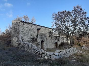
![Tour Wandern Mallefougasse-Augès - col Bas depuis mallefougasse - Photo](https://media.geolcdn.com/t/350/260/773ee6cf-8710-4e00-a817-21c9d969967b.jpg&format=jpg&maxdim=2)
![Wandern Wandern](https://static1.geolcdn.com/sitytour/trail-icons/101.png)
Km
#2 - col Bas depuis mallefougasse
Wandern
Medium
Mallefougasse-Augès,
Provence-Alpes-Côte d'Azur,
Alpes-de-Haute-Provence,
France
![](/images/other/stat-length.png)
9,2 km | 12,4 km-effort
3h 1min
![](https://static1.geolcdn.com/siteimages/upload/files/1508320355ic_sort_den_pos_24dp.png)
235 m
![](https://static1.geolcdn.com/siteimages/upload/files/1508320355ic_sort_den_neg_24dp.png)
233 m
![](https://static1.geolcdn.com/siteimages/upload/files/16400158638029165_repeat_loop_refresh_sync_direction_icon.png)
Ja
Roger
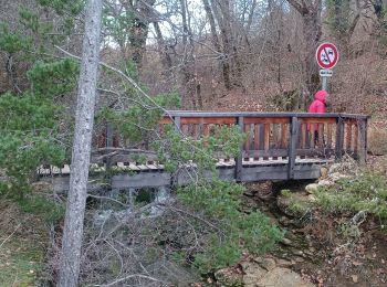
![Tour Wandern Mallefougasse-Augès - CHATEAU NEUF VAL SAINT DONNAT . Chapelle ST Magdeleine , bory de Baribarin , body d Emilie , jas de Mathieu , body de Mathieu , bergerie de Combe Belle , bory vieille , body haute , body basse , o n d - Photo](https://media.geolcdn.com/t/350/260/56db689d-1a55-4ee2-b5c8-4191d83afdcb.jpg&format=jpg&maxdim=2)
![Wandern Wandern](https://static1.geolcdn.com/sitytour/trail-icons/101.png)
Km
#3 - CHATEAU NEUF VAL SAINT DONNAT . Chapelle ST Magdeleine , bory de Baribarin , ...
Wandern
Schwierig
Mallefougasse-Augès,
Provence-Alpes-Côte d'Azur,
Alpes-de-Haute-Provence,
France
![](/images/other/stat-length.png)
14,9 km | 23 km-effort
4h 28min
![](https://static1.geolcdn.com/siteimages/upload/files/1508320355ic_sort_den_pos_24dp.png)
586 m
![](https://static1.geolcdn.com/siteimages/upload/files/1508320355ic_sort_den_neg_24dp.png)
582 m
![](https://static1.geolcdn.com/siteimages/upload/files/16400158638029165_repeat_loop_refresh_sync_direction_icon.png)
Ja
RobinMicheline
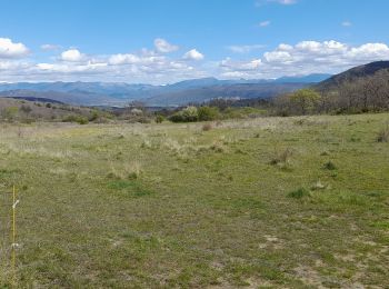
![Tour Wandern Mallefougasse-Augès - MALLEFOUGASSE . LE BAS COL . LA MEUNIERE O L - Photo](https://media.geolcdn.com/t/350/260/8eae3fec-0d1e-49a1-9e72-514c757fe584.jpg&format=jpg&maxdim=2)
![Wandern Wandern](https://static1.geolcdn.com/sitytour/trail-icons/101.png)
Km
#4 - MALLEFOUGASSE . LE BAS COL . LA MEUNIERE O L
Wandern
Medium
Mallefougasse-Augès,
Provence-Alpes-Côte d'Azur,
Alpes-de-Haute-Provence,
France
![](/images/other/stat-length.png)
9,5 km | 12,6 km-effort
2h 44min
![](https://static1.geolcdn.com/siteimages/upload/files/1508320355ic_sort_den_pos_24dp.png)
236 m
![](https://static1.geolcdn.com/siteimages/upload/files/1508320355ic_sort_den_neg_24dp.png)
236 m
![](https://static1.geolcdn.com/siteimages/upload/files/16400158638029165_repeat_loop_refresh_sync_direction_icon.png)
Ja
RobinMicheline
![Tour Wandern Mallefougasse-Augès - promenade - Photo](https://media.geolcdn.com/t/350/260/782dd1f2-f428-4d71-8097-7f52ad0a61cf.jpg&format=jpg&maxdim=2)
![Wandern Wandern](https://static1.geolcdn.com/sitytour/trail-icons/101.png)
Km
#5 - promenade
Wandern
Einfach
Mallefougasse-Augès,
Provence-Alpes-Côte d'Azur,
Alpes-de-Haute-Provence,
France
![](/images/other/stat-length.png)
2,1 km | 2,3 km-effort
1h 27min
![](https://static1.geolcdn.com/siteimages/upload/files/1508320355ic_sort_den_pos_24dp.png)
20 m
![](https://static1.geolcdn.com/siteimages/upload/files/1508320355ic_sort_den_neg_24dp.png)
19 m
![](https://static1.geolcdn.com/siteimages/upload/files/16400158638029165_repeat_loop_refresh_sync_direction_icon.png)
Ja
yale04230
![Tour Wandern Mallefougasse-Augès - ballade autour Mallefougasse - Photo](https://media.geolcdn.com/t/350/260/4c82c452-e5dd-46a3-bb1a-e1f82baba447.jpg&format=jpg&maxdim=2)
![Wandern Wandern](https://static1.geolcdn.com/sitytour/trail-icons/101.png)
Km
#6 - ballade autour Mallefougasse
Wandern
Einfach
Mallefougasse-Augès,
Provence-Alpes-Côte d'Azur,
Alpes-de-Haute-Provence,
France
![](/images/other/stat-length.png)
2,8 km | 3,4 km-effort
1h 50min
![](https://static1.geolcdn.com/siteimages/upload/files/1508320355ic_sort_den_pos_24dp.png)
43 m
![](https://static1.geolcdn.com/siteimages/upload/files/1508320355ic_sort_den_neg_24dp.png)
46 m
![](https://static1.geolcdn.com/siteimages/upload/files/16400158638029165_repeat_loop_refresh_sync_direction_icon.png)
Ja
yale04230
6 Angezeigte Touren bei 6
Kostenlosegpshiking-Anwendung