


19,8 km | 46 km-effort
Villar-Loubière : Entdecken Sie die besten Touren : 36 wandern, 2 nordic walking und 1 pfad. Alle diese Touren, Trails, Routen und Outdoor-Aktivitäten sind in unseren SityTrail-Apps für Smartphones und Tablets verfügbar.

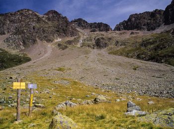
Wandern


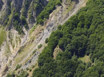
Wandern
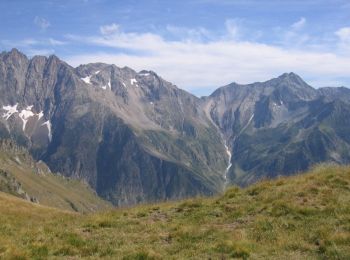
Wandern
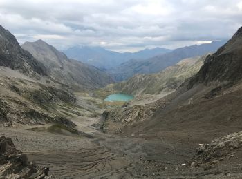
Wandern
Wandern
Wandern
Wandern
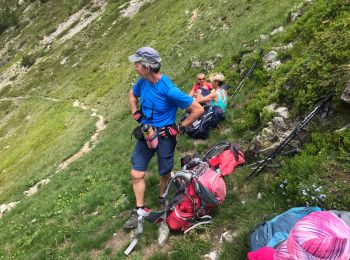
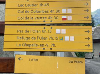
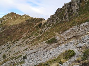
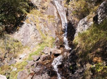
• Séjour REV juin 2019 2eme jour Le refuge des souffles col des cochettes le Lautier col de colombes Pas de l'Olan refu...
Wandern

Wandern
Wandern

Wandern
Wandern
Wandern
Wandern
Wandern
Wandern
Wandern
Wandern
Wandern

Nordic Walking
20 Angezeigte Touren bei 39
Kostenlosegpshiking-Anwendung
 SityTrail
IGN / Geografische Institute
SityTrail World
Die Welt öffnet sich für Sie