


6,5 km | 13,7 km-effort
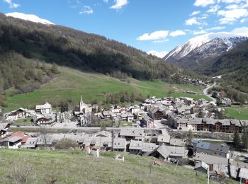
Abriès-Ristolas : Entdecken Sie die besten Touren : 6 zu fuß, 308 wandern, 2 nordic walking und 1 pfad. Alle diese Touren, Trails, Routen und Outdoor-Aktivitäten sind in unseren SityTrail-Apps für Smartphones und Tablets verfügbar.
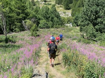
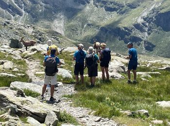
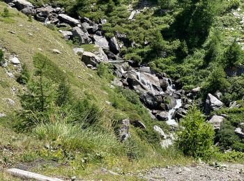
Wandern


Wandern
Wandern
Wandern
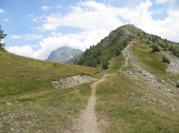
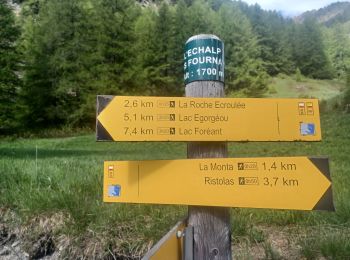
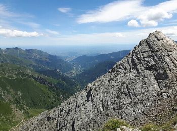
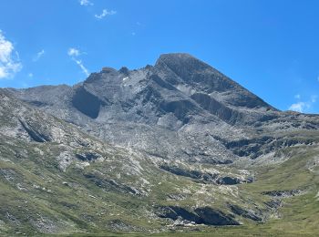
• GR58

Wandern
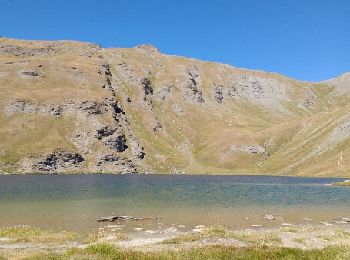
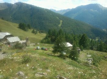
• GR58
Wandern
Wandern

Wandern
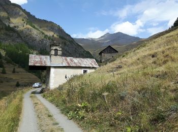
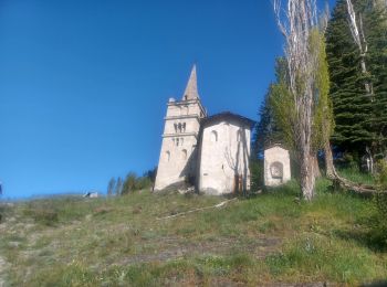
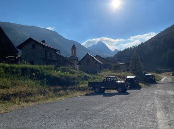
• Depart du hameau de Valpreveyre au dessus d Abries
Wandern
Wandern
Wandern
Wandern
Wandern
Wandern
Wandern
Wandern
Wandern
Wandern
Wandern
Wandern
20 Angezeigte Touren bei 316
 SityTrail