


8,3 km | 11 km-effort
Saint-Bonnet-en-Champsaur : Entdecken Sie die besten Touren : 6 wandern. Alle diese Touren, Trails, Routen und Outdoor-Aktivitäten sind in unseren SityTrail-Apps für Smartphones und Tablets verfügbar.
Wandern


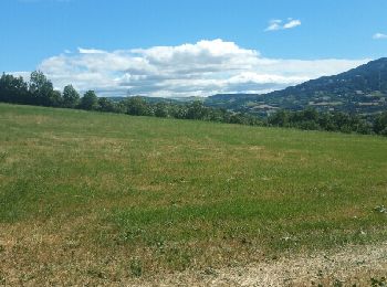
• Très variée routes chemins champs et sous bois, des montées et descentes mais pas mal de plats

Wandern

Wandern
• Très variée routes chemins champs et sous bois, des montées et descentes mais pas mal de plats
Wandern
Wandern
Wandern
6 Angezeigte Touren bei 6
Kostenlosegpshiking-Anwendung
 SityTrail
IGN / Geografische Institute
SityTrail World
Die Welt öffnet sich für Sie