


8,2 km | 18,4 km-effort
Saint-André-d'Embrun : Entdecken Sie die besten Touren : 2 zu fuß, 26 wandern und 2 nordic walking. Alle diese Touren, Trails, Routen und Outdoor-Aktivitäten sind in unseren SityTrail-Apps für Smartphones und Tablets verfügbar.
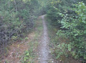
Wandern


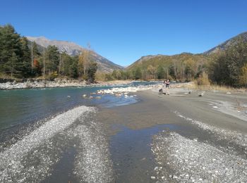
Wandern
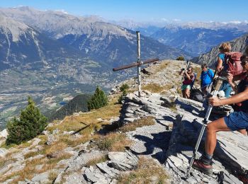
Wandern
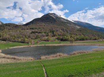
Wandern
Wandern
Wandern
Wandern
Wandern
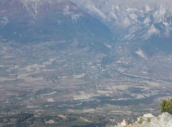
• Petite randonnée agréable en balcon sur la Durance. Nombreux points de vue sur la vallée du Rabioux. Attention au v...

Wandern

Nordic Walking
Nordic Walking
Wandern

Wandern
Zu Fuß
Zu Fuß
Wandern
Wandern
Wandern
Wandern
Wandern
20 Angezeigte Touren bei 30
Kostenlosegpshiking-Anwendung
 SityTrail
IGN / Geografische Institute
SityTrail World
Die Welt öffnet sich für Sie