


7,3 km | 10,1 km-effort
Vaucluse : Entdecken Sie die besten Touren : 134 zu fuß, 4495 wandern, 63 nordic walking, 227 laufen und 171 pfad. Alle diese Touren, Trails, Routen und Outdoor-Aktivitäten sind in unseren SityTrail-Apps für Smartphones und Tablets verfügbar.
Wandern


Wandern
Wandern
Wandern
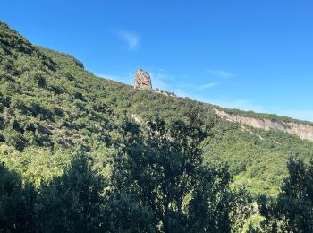
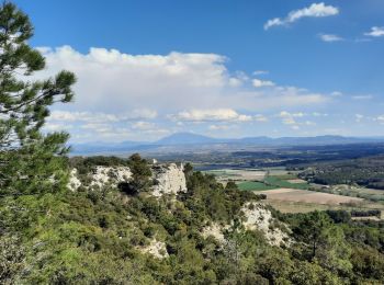
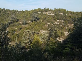
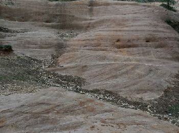
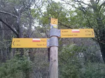
• gorges de baradel rochers de Baude au départ de Robion
Wandern
Wandern
Wandern
Wandern
Wandern
Wandern
Wandern
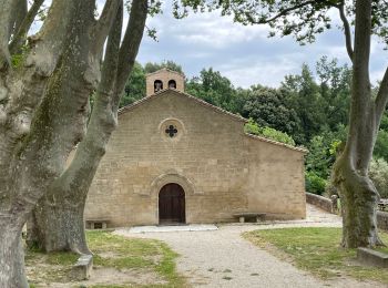
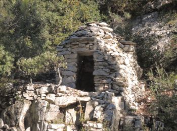
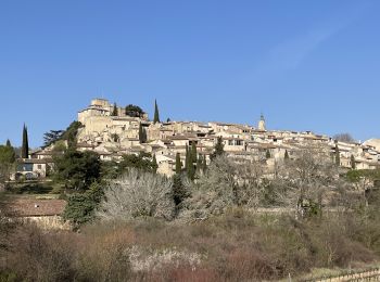
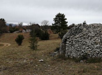
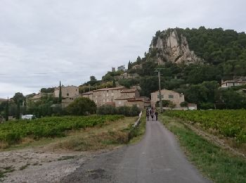
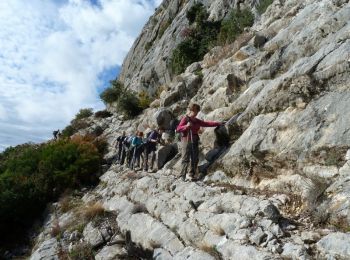
• Boucle agrémentée de beaux paysages et de magnifiques bories. Visite de Saignon
Wandern
Wandern
Wandern
• Le 02 11 2014
Wandern
Wandern
Wandern
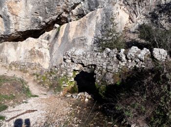
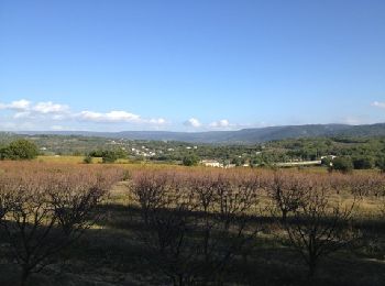
• Superbe marche
Wandern
Wandern
Wandern
20 Angezeigte Touren bei 5072
Kostenlosegpshiking-Anwendung
 SityTrail
IGN / Geografische Institute
SityTrail World
Die Welt öffnet sich für Sie