


25 km | 41 km-effort
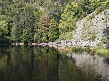
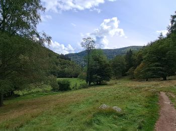
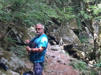
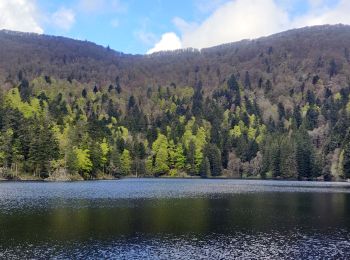
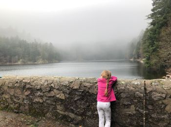
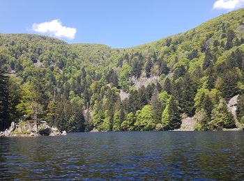
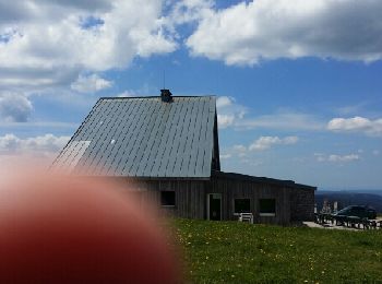
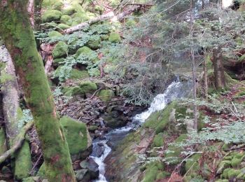
Mittlach : Entdecken Sie die besten Touren : 2 zu fuß, 74 wandern, 1 nordic walking und 1 laufen. Alle diese Touren, Trails, Routen und Outdoor-Aktivitäten sind in unseren SityTrail-Apps für Smartphones und Tablets verfügbar.
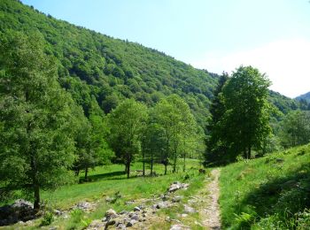
Wandern


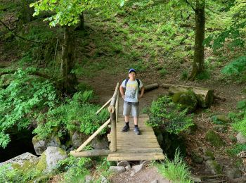
Wandern
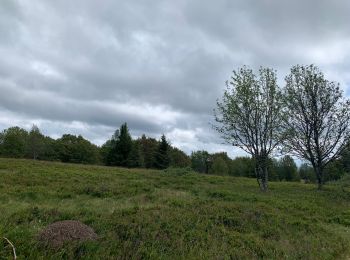
Wandern

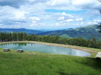
Wandern
Wandern

Wandern
Wandern
Wandern
Wandern
Wandern
Wandern
Wandern
Wandern
Wandern
• Détails de la rando sur TraceGPS.com http://www.tracegps.com/fr/parcours/circuit11182.htm
Wandern
Wandern
Wandern
Wandern
Wandern
Wandern
20 Angezeigte Touren bei 77
Kostenlosegpshiking-Anwendung
 SityTrail
IGN / Geografische Institute
SityTrail World
Die Welt öffnet sich für Sie