


14,6 km | 23 km-effort
Monthermé : Entdecken Sie die besten Touren : 96 wandern, 3 laufen und 4 pfad. Alle diese Touren, Trails, Routen und Outdoor-Aktivitäten sind in unseren SityTrail-Apps für Smartphones und Tablets verfügbar.
Wandern


Wandern
Wandern

Wandern
Wandern
Wandern

Wandern
Wandern
Wandern
Wandern
Wandern
Wandern
Wandern
Wandern
Wandern
Wandern
Wandern
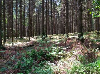
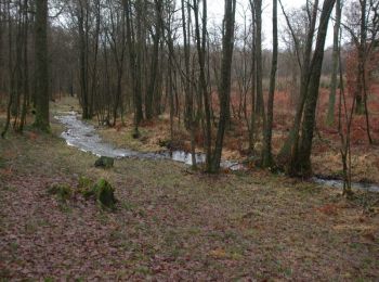
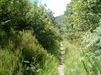
• forêt

Wandern
Wandern
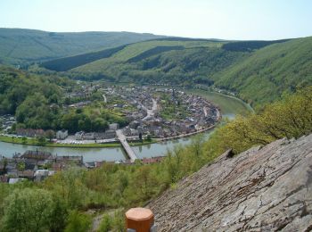
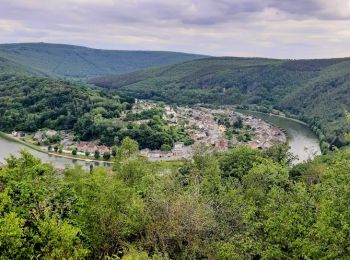
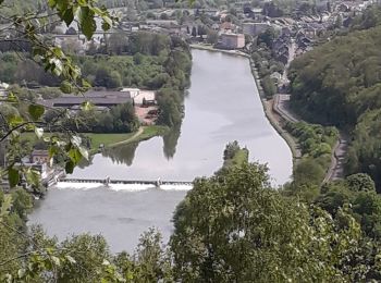
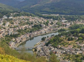
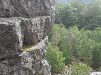
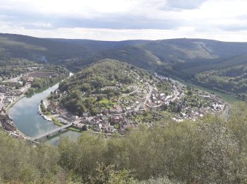
• trajet un peu rugueux près de la Meuse (ascension vers un maginfique point de vue, au-dessus d'une brèche et tunnel d...
Wandern
•
20 Angezeigte Touren bei 103
Kostenlosegpshiking-Anwendung
 SityTrail
IGN / Geografische Institute
SityTrail World
Die Welt öffnet sich für Sie