


20 km | 31 km-effort
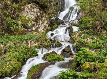
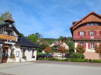
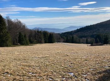
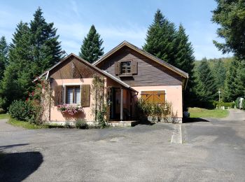
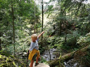
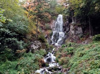
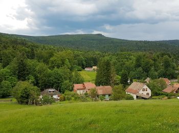
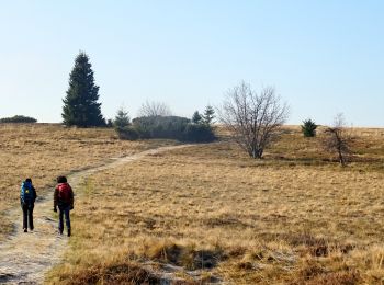
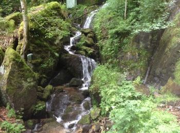
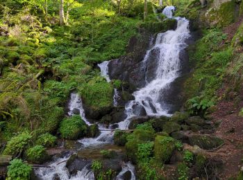
Hohwald : Entdecken Sie die besten Touren : 6 zu fuß, 91 wandern, 2 nordic walking und 1 pfad. Alle diese Touren, Trails, Routen und Outdoor-Aktivitäten sind in unseren SityTrail-Apps für Smartphones und Tablets verfügbar.
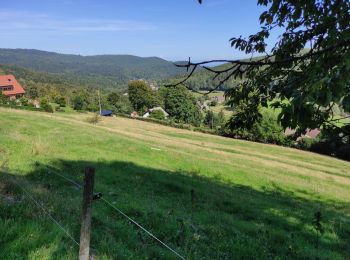
Wandern


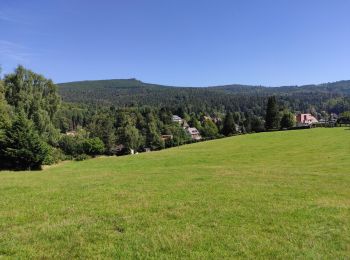
Wandern
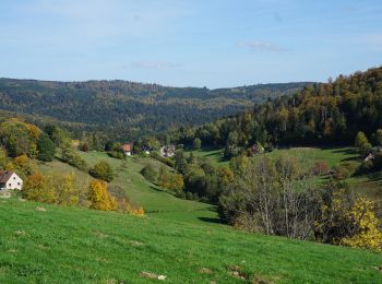
Wandern
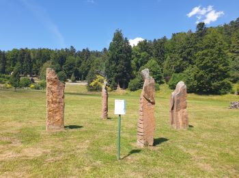
Zu Fuß
Wandern
Wandern
Wandern
Wandern
Wandern
Wandern
Wandern
Wandern
Wandern
Zu Fuß
Wandern
• Faite le 25/05/2017 avec notre fils Théo de 12 ans. D'après "Passion Vosges - Autour du Mont Sainte-Odile" N°25 : Par...
Wandern
• Très belle randonnée à faire de préférence en hiver ou au printemps pour profiter des points de vue. En été il y a de...
Wandern
Wandern
Wandern
•
Wandern
20 Angezeigte Touren bei 100
Kostenlosegpshiking-Anwendung
 SityTrail
IGN / Geografische Institute
SityTrail World
Die Welt öffnet sich für Sie