


16,5 km | 30 km-effort
Châtel : Entdecken Sie die besten Touren : 3 zu fuß, 54 wandern, 2 laufen und 4 pfad. Alle diese Touren, Trails, Routen und Outdoor-Aktivitäten sind in unseren SityTrail-Apps für Smartphones und Tablets verfügbar.
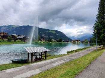
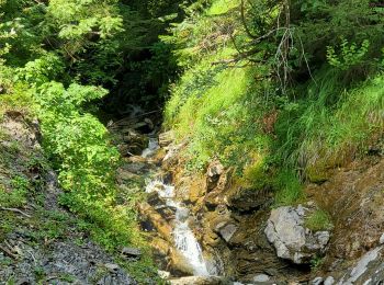
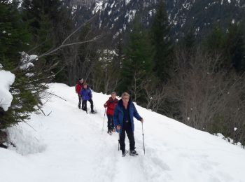
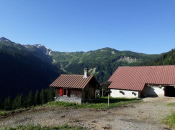
Wandern


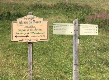
• départ de la randonnée 1 km en aval du col de Bassachaux (au dessus du Pré la Joux) retour par le même chemin avec pe...
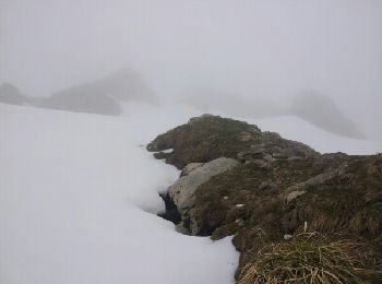
Wandern
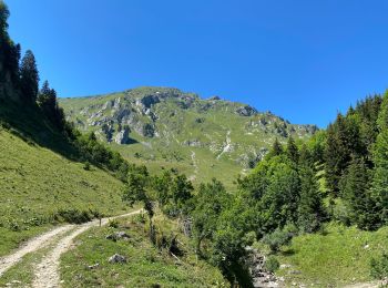
Wandern
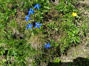
Wandern

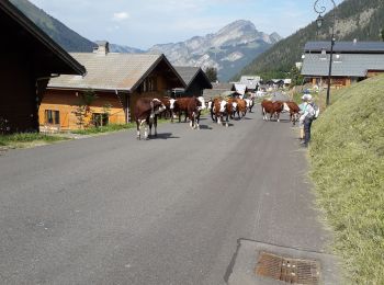
Wandern

Wandern
Wandern

Wandern
Wandern
Wandern
Wandern
Wandern
Wandern
Wandern
Wandern
Wandern
Wandern

Wandern
Wandern

Wandern
20 Angezeigte Touren bei 63
Kostenlosegpshiking-Anwendung
 SityTrail
IGN / Geografische Institute
SityTrail World
Die Welt öffnet sich für Sie