


22 km | 38 km-effort
Lanslevillard : Entdecken Sie die besten Touren : 1 zu fuß, 45 wandern, 2 nordic walking und 3 laufen. Alle diese Touren, Trails, Routen und Outdoor-Aktivitäten sind in unseren SityTrail-Apps für Smartphones und Tablets verfügbar.
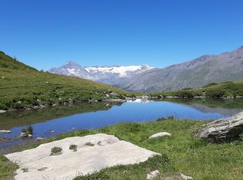
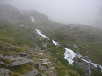
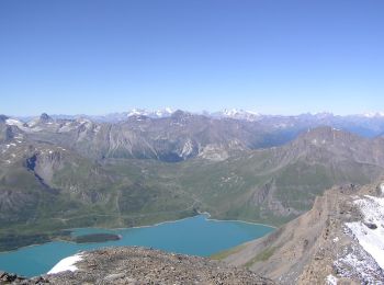
Wandern


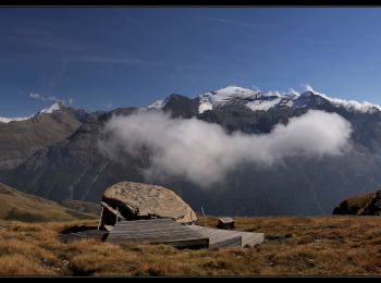
Wandern
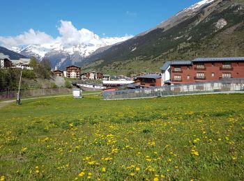
Wandern
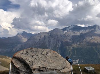
Wandern
Wandern
Wandern
Wandern
Wandern
Wandern
Wandern
Wandern
Wandern
Wandern
Wandern

Wandern
Wandern
Wandern
Wandern
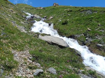
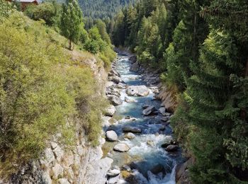
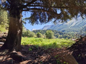
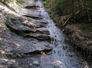
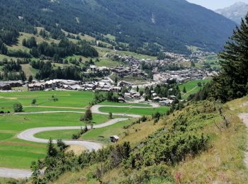
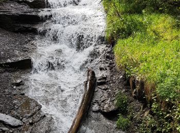
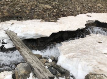
• Circuit depuis pont du Près de Bois, Chemin du Petit Bonheur, Sentier des Sarrasins, Lanslevillard et retour Balcons
Wandern
Wandern
20 Angezeigte Touren bei 51
Kostenlosegpshiking-Anwendung
 SityTrail
IGN / Geografische Institute
SityTrail World
Die Welt öffnet sich für Sie