


11,4 km | 18,3 km-effort
Thiers : Entdecken Sie die besten Touren : 5 zu fuß und 37 wandern. Alle diese Touren, Trails, Routen und Outdoor-Aktivitäten sind in unseren SityTrail-Apps für Smartphones und Tablets verfügbar.
Wandern


Wandern

Zu Fuß
• Trail created by CD63.
Zu Fuß
• Trail created by CD63.
Zu Fuß
• Trail created by CD63.
Wandern
Wandern

Wandern

Wandern
Wandern
• Inspiré du guide Conseil général 63
Zu Fuß

Zu Fuß
• Trail created by CD63.
Wandern
Wandern
• 2émé Étape THIERS-COURPIERE
Wandern

Wandern
Wandern
Wandern
Wandern
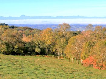
• très beaux points de vues sur les volcans
Wandern
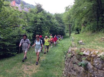
• 13 marcheurs
20 Angezeigte Touren bei 42
Kostenlosegpshiking-Anwendung
 SityTrail
IGN / Geografische Institute
SityTrail World
Die Welt öffnet sich für Sie