


13,8 km | 24 km-effort
Les Deux Alpes : Entdecken Sie die besten Touren : 3 zu fuß, 130 wandern, 3 nordic walking, 6 laufen und 4 pfad. Alle diese Touren, Trails, Routen und Outdoor-Aktivitäten sind in unseren SityTrail-Apps für Smartphones und Tablets verfügbar.
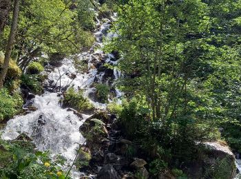
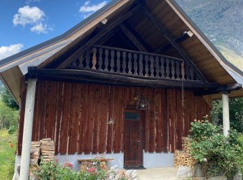
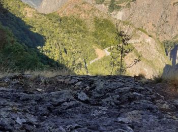
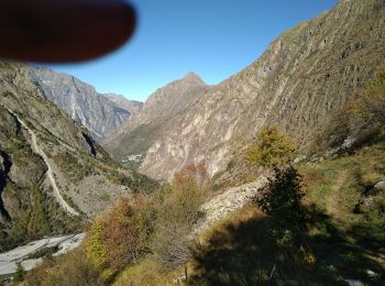
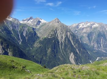
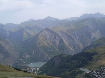
Wandern


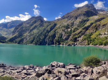
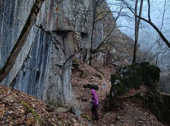
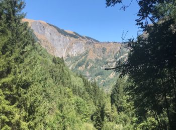
Wandern
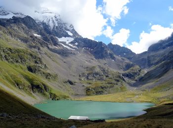
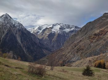
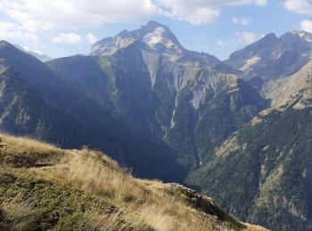
Wandern
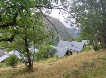
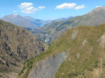
Wandern

Wandern
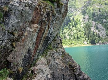
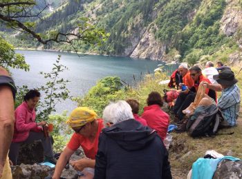
• Oisans - Vénéon - Le Lauvitel - Fleurs et marmottes

Wandern
Wandern
Wandern
Wandern
Wandern
Wandern
Wandern
Wandern
Wandern
Wandern
Wandern
Wandern
Wandern
Wandern
Wandern
20 Angezeigte Touren bei 145
Kostenlosegpshiking-Anwendung
 SityTrail
IGN / Geografische Institute
SityTrail World
Die Welt öffnet sich für Sie