


5,7 km | 9,6 km-effort
Thueyts : Entdecken Sie die besten Touren : 1 zu fuß, 82 wandern, 1 nordic walking und 4 pfad. Alle diese Touren, Trails, Routen und Outdoor-Aktivitäten sind in unseren SityTrail-Apps für Smartphones und Tablets verfügbar.

Wandern


Wandern
Wandern
Wandern
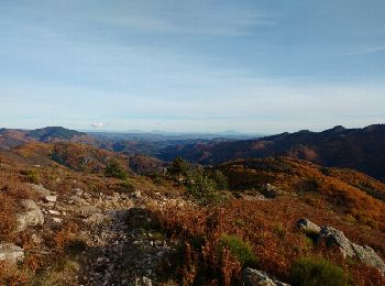
• Autour de Thueyts
Wandern
• Rando de la croix de Berland en partant du centre de Thueyts, montée le long d'une coulée de lave puis on rejoint la ...
Wandern
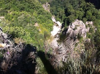
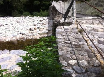
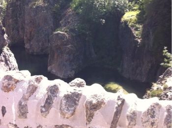
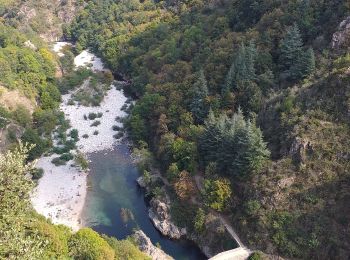
• En partant du camping de Belos ou de Thueyts, ballade facile avec passage au pont du diable et vues sur Thueyts et la...
Wandern
• Ballade du "chemin des plaideurs" en partant du camping. Fort dénivellé montant et descendant sur sentiers et draille...
Wandern
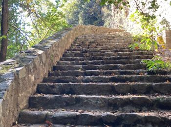
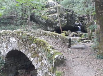
• En partant du camping de Belos ou de Thueyts, l'escalier de la Reine, le pont du diable et l'échelle du Roi, une cass...
Wandern
Wandern
Wandern

Nordic Walking
Wandern
Wandern
Wandern
Wandern

Wandern
Wandern
• 25 09 2017 charignon barbaret gene tps chaud
Wandern
Wandern
20 Angezeigte Touren bei 88
Kostenlosegpshiking-Anwendung
 SityTrail
IGN / Geografische Institute
SityTrail World
Die Welt öffnet sich für Sie