


7,8 km | 11 km-effort
Kastilien und León : Entdecken Sie die besten Touren : 93 zu fuß, 368 wandern, 15 nordic walking und 3 laufen. Alle diese Touren, Trails, Routen und Outdoor-Aktivitäten sind in unseren SityTrail-Apps für Smartphones und Tablets verfügbar.
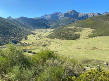
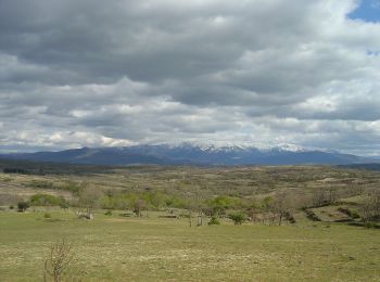
Wandern


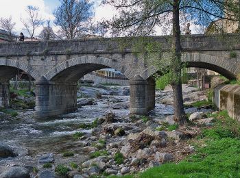
Wandern
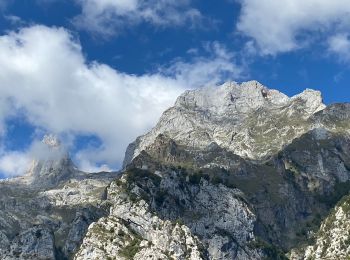
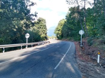
Zu Fuß
• Symbol: blue:white:blue_lower
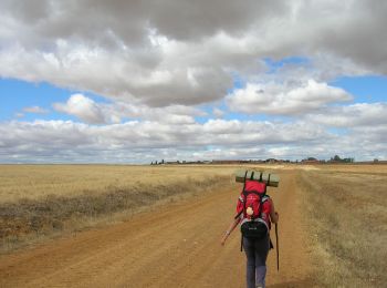
Zu Fuß
• Esto es simplemente un proyecto y una estimación. Sientete libre de modificarlo si tienes datos más fiables. Gracias
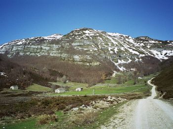
Zu Fuß
• Trail created by Junta vecinal Santalla del Bierzo.

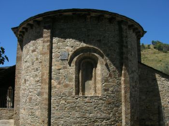
Zu Fuß
• Trail created by Ayuntamiento de Burgos.
Zu Fuß
• Trail created by Ayuntamiento de Burgos.
Zu Fuß
• Trail created by Ayuntamiento de Burgos.
Zu Fuß
• Trail created by Ayuntamiento de Burgos.
Zu Fuß
• Website: http://www.turismosanabria.es/senderismo0.php
Zu Fuß
• Website: http://www.turismosanabria.es/senderismo1.php
Zu Fuß
• Symbol: green:white:green_lower
Zu Fuß
• Trail created by Citur. Website: http://www.aytoburgos.es/archivos/vocab-raw/articulo/documentos/rutas7.pdf
Zu Fuß
• Ruta de los Lagares Rupestres en San Esteban de la Sierra (Salamanca) Website: http://www.sanestebanrutalagares.com/
Zu Fuß
• Trail created by Ayuntamiento de Arenas de San Pedro.
Zu Fuß
• Trail created by Ayuntamiento de Arenas de San Pedro.
Zu Fuß
• Be careful to not map the bicycle way here. See the wiki.
Wandern
Wandern
Wandern
20 Angezeigte Touren bei 479
Kostenlosegpshiking-Anwendung
 SityTrail
IGN / Geografische Institute
SityTrail World
Die Welt öffnet sich für Sie