


12,8 km | 25 km-effort
Cotopaxi : Entdecken Sie die besten Touren : 7 wandern. Alle diese Touren, Trails, Routen und Outdoor-Aktivitäten sind in unseren SityTrail-Apps für Smartphones und Tablets verfügbar.
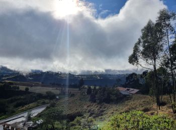
Wandern


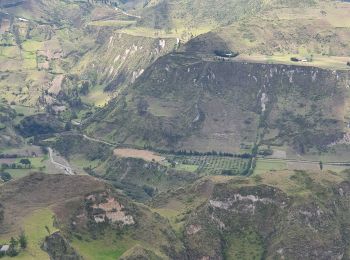
Wandern
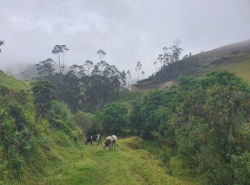
Wandern

Wandern
Wandern
Wandern
Wandern
7 Angezeigte Touren bei 7
 SityTrail