


5 km | 6,5 km-effort
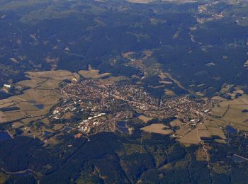
Clausthal-Zellerfeld : Entdecken Sie die besten Touren : 8 zu fuß und 1 wandern. Alle diese Touren, Trails, Routen und Outdoor-Aktivitäten sind in unseren SityTrail-Apps für Smartphones und Tablets verfügbar.
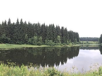
Zu Fuß


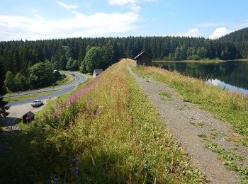
• Trail created by Harzklub. Symbol: Wasserrad auf blauem Grund
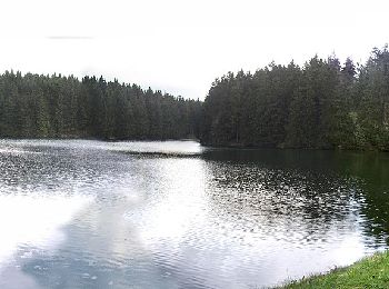
Zu Fuß
• Trail created by Harzklub. Symbol: Wasserrad auf blauem Grund
Zu Fuß
• Trail created by Harzklub.

Zu Fuß
• Trail created by Harzklub.
Zu Fuß
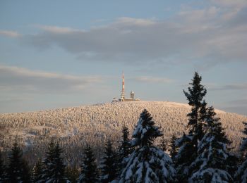
• Trail created by Nationalpark Harz.

Zu Fuß
• Trail created by Harzklub. Symbol: Wasserrad auf bleuem Grund
Zu Fuß
• Trail created by Harzklub. Symbol: Weißes Wasserrad auf blauem Grund

Zu Fuß
• Nationalpark Harz Website: https://www.nationalpark-harz.de/de/downloads/wanderwege/?we_objectID=456&refDID=3495

Wandern
9 Angezeigte Touren bei 9
Kostenlosegpshiking-Anwendung
 SityTrail
IGN / Geografische Institute
SityTrail World
Die Welt öffnet sich für Sie