


11 km | 15,4 km-effort
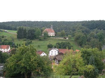
Lützelbach : Entdecken Sie die besten Touren : 7 zu fuß. Alle diese Touren, Trails, Routen und Outdoor-Aktivitäten sind in unseren SityTrail-Apps für Smartphones und Tablets verfügbar.
Zu Fuß


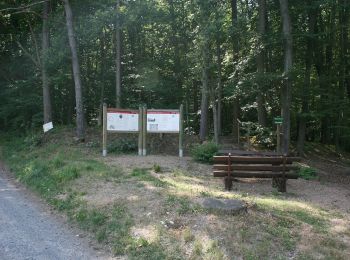
• Trail created by Geo-Naturpark Bergstraße-Odenwald. Symbol: weiße 1 im oben offenen Kreis, darin ein 'Se'
Zu Fuß
• Trail created by Geo-Naturpark Bergstraße-Odenwald.

Zu Fuß
• Trail created by Geo-Naturpark Bergstraße-Odenwald.
Zu Fuß
• Trail created by Geo-Naturpark Bergstraße-Odenwald.
Zu Fuß
• Trail created by Geo-Naturpark Bergstraße-Odenwald.
Zu Fuß
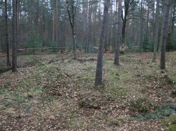
• Trail created by Geo-Naturpark Bergstraße-Odenwald. Symbol: weiße 1 im oben offenen Kreis, darin ein 'Hg'
Zu Fuß
• Trail created by Geo-Naturpark Bergstraße-Odenwald.
7 Angezeigte Touren bei 7
Kostenlosegpshiking-Anwendung
 SityTrail
IGN / Geografische Institute
SityTrail World
Die Welt öffnet sich für Sie