![](/images/other/stat-length.png)
Hochtaunuskreis, Hessen, Zu Fuß: Die besten Touren, Trails, Trecks und Wanderungen
Hochtaunuskreis : Entdecken Sie die besten Touren : 23 zu fuß und 1 wandern. Alle diese Touren, Trails, Routen und Outdoor-Aktivitäten sind in unseren SityTrail-Apps für Smartphones und Tablets verfügbar.
Die besten Spuren (24)
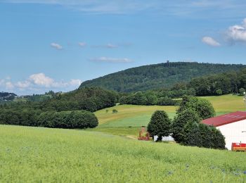
![Tour Zu Fuß Weilrod - Rundweg Mauloff-Finsterthal-Riedelbach - Photo](https://media.geolcdn.com/t/350/260/32744907-0426-461e-8e50-508bb917f1c1.jpeg&format=jpg&maxdim=2)
![Zu Fuß Zu Fuß](https://static1.geolcdn.com/sitytour/trail-icons/100.png)
Km
Zu Fuß
![](/images/other/stat-length.png)
![](https://static1.geolcdn.com/siteimages/upload/files/1508320355ic_sort_den_pos_24dp.png)
![](https://static1.geolcdn.com/siteimages/upload/files/1508320355ic_sort_den_neg_24dp.png)
![](https://static1.geolcdn.com/siteimages/upload/files/16400158638029165_repeat_loop_refresh_sync_direction_icon.png)
• Trail created by Naturpark Hochtaunus. Symbol: blauer Schmetterling auf weißem Grund
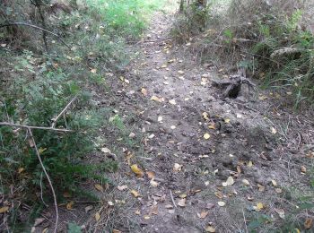
![Tour Zu Fuß Usingen - Hasenberg - Photo](https://media.geolcdn.com/t/350/260/3267a1a4-f783-4614-86a6-fc66424ae71f.jpeg&format=jpg&maxdim=2)
![Zu Fuß Zu Fuß](https://static1.geolcdn.com/sitytour/trail-icons/100.png)
Km
Zu Fuß
![](/images/other/stat-length.png)
![](https://static1.geolcdn.com/siteimages/upload/files/1508320355ic_sort_den_pos_24dp.png)
![](https://static1.geolcdn.com/siteimages/upload/files/1508320355ic_sort_den_neg_24dp.png)
![](https://static1.geolcdn.com/siteimages/upload/files/16400158638029165_repeat_loop_refresh_sync_direction_icon.png)
• Trail created by Naturpark Hochtaunus. Symbol: Hase auf weißem Grund
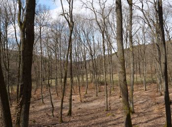
![Tour Zu Fuß Neu-Anspach - Rund um den Langhals - Photo](https://media.geolcdn.com/t/350/260/6490ebfc-1929-48c2-89a0-96276fc509a5.jpeg&format=jpg&maxdim=2)
![Zu Fuß Zu Fuß](https://static1.geolcdn.com/sitytour/trail-icons/100.png)
Km
Zu Fuß
![](/images/other/stat-length.png)
![](https://static1.geolcdn.com/siteimages/upload/files/1508320355ic_sort_den_pos_24dp.png)
![](https://static1.geolcdn.com/siteimages/upload/files/1508320355ic_sort_den_neg_24dp.png)
![](https://static1.geolcdn.com/siteimages/upload/files/16400158638029165_repeat_loop_refresh_sync_direction_icon.png)
• Trail created by Naturpark Hochtaunus. Symbol: roter Pilz auf weißem Grund
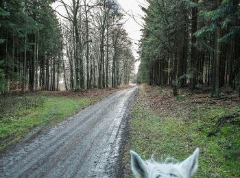
![Tour Zu Fuß Weilrod - Rundweg Mauloff, Riedelbach, Tenne - Photo](https://media.geolcdn.com/t/350/260/37c19c6b-f0ad-4d01-b185-6038bb9a7e1c.jpeg&format=jpg&maxdim=2)
![Zu Fuß Zu Fuß](https://static1.geolcdn.com/sitytour/trail-icons/100.png)
Km
Zu Fuß
![](/images/other/stat-length.png)
![](https://static1.geolcdn.com/siteimages/upload/files/1508320355ic_sort_den_pos_24dp.png)
![](https://static1.geolcdn.com/siteimages/upload/files/1508320355ic_sort_den_neg_24dp.png)
![](https://static1.geolcdn.com/siteimages/upload/files/16400158638029165_repeat_loop_refresh_sync_direction_icon.png)
• Trail created by Naturpark Hochtaunus. Symbol: grünes Eichenblatt auf weißem Grund
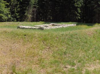
![Tour Zu Fuß Schmitten - Sandplacken: Milan - Photo](https://media.geolcdn.com/t/350/260/c9714713-a554-4bd0-930a-2d566806503e.jpeg&format=jpg&maxdim=2)
![Zu Fuß Zu Fuß](https://static1.geolcdn.com/sitytour/trail-icons/100.png)
Km
Zu Fuß
![](/images/other/stat-length.png)
![](https://static1.geolcdn.com/siteimages/upload/files/1508320355ic_sort_den_pos_24dp.png)
![](https://static1.geolcdn.com/siteimages/upload/files/1508320355ic_sort_den_neg_24dp.png)
![](https://static1.geolcdn.com/siteimages/upload/files/16400158638029165_repeat_loop_refresh_sync_direction_icon.png)
• Trail created by Naturpark Taunus. Symbol: Roter Vogel auf weißem Grund
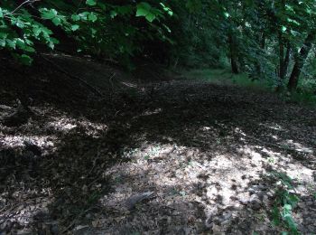
![Tour Zu Fuß Wehrheim - Kransberg-Kreuzkapelle-Jungholz - Photo](https://media.geolcdn.com/t/350/260/08ab2058-607b-4e3e-bc84-57d888c1a17f.jpeg&format=jpg&maxdim=2)
![Zu Fuß Zu Fuß](https://static1.geolcdn.com/sitytour/trail-icons/100.png)
Km
Zu Fuß
![](/images/other/stat-length.png)
![](https://static1.geolcdn.com/siteimages/upload/files/1508320355ic_sort_den_pos_24dp.png)
![](https://static1.geolcdn.com/siteimages/upload/files/1508320355ic_sort_den_neg_24dp.png)
![](https://static1.geolcdn.com/siteimages/upload/files/16400158638029165_repeat_loop_refresh_sync_direction_icon.png)
• Trail created by Naturpark Hochtaunus. Symbol: schwarzer Hirschkäfer auf weißem Grund
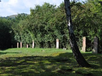
![Tour Zu Fuß Usingen - Bonseweg - Photo](https://media.geolcdn.com/t/350/260/e4993e4c-391d-4dc2-92c1-316b7df4e5b1.jpeg&format=jpg&maxdim=2)
![Zu Fuß Zu Fuß](https://static1.geolcdn.com/sitytour/trail-icons/100.png)
Km
Zu Fuß
![](/images/other/stat-length.png)
![](https://static1.geolcdn.com/siteimages/upload/files/1508320355ic_sort_den_pos_24dp.png)
![](https://static1.geolcdn.com/siteimages/upload/files/1508320355ic_sort_den_neg_24dp.png)
![](https://static1.geolcdn.com/siteimages/upload/files/16400158638029165_repeat_loop_refresh_sync_direction_icon.png)
• Trail created by Naturpark Hochtaunus. Symbol: Rehbock rot auf weißem Grund
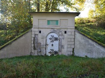
![Tour Zu Fuß Weilrod - Um den Hardtküppel - Photo](https://media.geolcdn.com/t/350/260/2c8010a0-4d47-4c4d-8627-92938ea306e4.jpeg&format=jpg&maxdim=2)
![Zu Fuß Zu Fuß](https://static1.geolcdn.com/sitytour/trail-icons/100.png)
Km
Zu Fuß
![](/images/other/stat-length.png)
![](https://static1.geolcdn.com/siteimages/upload/files/1508320355ic_sort_den_pos_24dp.png)
![](https://static1.geolcdn.com/siteimages/upload/files/1508320355ic_sort_den_neg_24dp.png)
![](https://static1.geolcdn.com/siteimages/upload/files/16400158638029165_repeat_loop_refresh_sync_direction_icon.png)
• Trail created by Naturpark Hochtaunus. Symbol: Fichte grün auf weißem Grund
![Tour Zu Fuß Weilrod - Rödern - Sattelbachtal - Heinzelberg - Lenchen - Photo](https://media.geolcdn.com/t/350/260/2c8010a0-4d47-4c4d-8627-92938ea306e4.jpeg&format=jpg&maxdim=2)
![Zu Fuß Zu Fuß](https://static1.geolcdn.com/sitytour/trail-icons/100.png)
Km
Zu Fuß
![](/images/other/stat-length.png)
![](https://static1.geolcdn.com/siteimages/upload/files/1508320355ic_sort_den_pos_24dp.png)
![](https://static1.geolcdn.com/siteimages/upload/files/1508320355ic_sort_den_neg_24dp.png)
![](https://static1.geolcdn.com/siteimages/upload/files/16400158638029165_repeat_loop_refresh_sync_direction_icon.png)
• Trail created by Naturpark Hochtaunus. Symbol: Forelle Blau auf weißem Grund
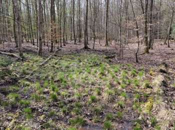
![Tour Zu Fuß Bad Homburg vor der Höhe - Rehbockweg - Photo](https://media.geolcdn.com/t/350/260/e077ff9f-8a9a-4569-be92-fffe24006317.jpeg&format=jpg&maxdim=2)
![Zu Fuß Zu Fuß](https://static1.geolcdn.com/sitytour/trail-icons/100.png)
Km
Zu Fuß
![](/images/other/stat-length.png)
![](https://static1.geolcdn.com/siteimages/upload/files/1508320355ic_sort_den_pos_24dp.png)
![](https://static1.geolcdn.com/siteimages/upload/files/1508320355ic_sort_den_neg_24dp.png)
![](https://static1.geolcdn.com/siteimages/upload/files/16400158638029165_repeat_loop_refresh_sync_direction_icon.png)
• Trail created by Naturpark Hochtaunus. Symbol: Rehbockkopf rot auf weißem Grund
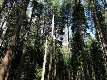
![Tour Zu Fuß Bad Homburg vor der Höhe - Keilerweg - Photo](https://media.geolcdn.com/t/350/260/485d4d15-a212-4569-9570-7624ef74eed3.jpeg&format=jpg&maxdim=2)
![Zu Fuß Zu Fuß](https://static1.geolcdn.com/sitytour/trail-icons/100.png)
Km
Zu Fuß
![](/images/other/stat-length.png)
![](https://static1.geolcdn.com/siteimages/upload/files/1508320355ic_sort_den_pos_24dp.png)
![](https://static1.geolcdn.com/siteimages/upload/files/1508320355ic_sort_den_neg_24dp.png)
![](https://static1.geolcdn.com/siteimages/upload/files/16400158638029165_repeat_loop_refresh_sync_direction_icon.png)
• Trail created by Naturpark Hochtaunus. Symbol: Keiler schwarz auf weißem Grund
![Tour Zu Fuß Bad Homburg vor der Höhe - Libellenweg - Photo](https://media.geolcdn.com/t/350/260/485d4d15-a212-4569-9570-7624ef74eed3.jpeg&format=jpg&maxdim=2)
![Zu Fuß Zu Fuß](https://static1.geolcdn.com/sitytour/trail-icons/100.png)
Km
Zu Fuß
![](/images/other/stat-length.png)
![](https://static1.geolcdn.com/siteimages/upload/files/1508320355ic_sort_den_pos_24dp.png)
![](https://static1.geolcdn.com/siteimages/upload/files/1508320355ic_sort_den_neg_24dp.png)
![](https://static1.geolcdn.com/siteimages/upload/files/16400158638029165_repeat_loop_refresh_sync_direction_icon.png)
• Trail created by Naturpark Hochtaunus. Symbol: Libelle blau auf weißem Grund
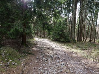
![Tour Zu Fuß Schmitten - Sandplacken: Hirschkäfer - Photo](https://media.geolcdn.com/t/350/260/1f359986-7940-4d69-97d7-f4a182fdf4db.jpeg&format=jpg&maxdim=2)
![Zu Fuß Zu Fuß](https://static1.geolcdn.com/sitytour/trail-icons/100.png)
Km
Zu Fuß
![](/images/other/stat-length.png)
![](https://static1.geolcdn.com/siteimages/upload/files/1508320355ic_sort_den_pos_24dp.png)
![](https://static1.geolcdn.com/siteimages/upload/files/1508320355ic_sort_den_neg_24dp.png)
![](https://static1.geolcdn.com/siteimages/upload/files/16400158638029165_repeat_loop_refresh_sync_direction_icon.png)
• Trail created by Naturpark Taunus. Symbol: Schwarzer Käfer auf weißem Grund
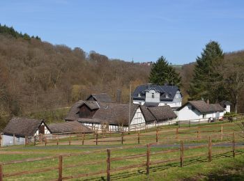
![Tour Zu Fuß Weilrod - Helgenberg- Forst Laubach - Photo](https://media.geolcdn.com/t/350/260/d1abd01d-95f2-47ca-9485-81497836ccec.jpeg&format=jpg&maxdim=2)
![Zu Fuß Zu Fuß](https://static1.geolcdn.com/sitytour/trail-icons/100.png)
Km
Zu Fuß
![](/images/other/stat-length.png)
![](https://static1.geolcdn.com/siteimages/upload/files/1508320355ic_sort_den_pos_24dp.png)
![](https://static1.geolcdn.com/siteimages/upload/files/1508320355ic_sort_den_neg_24dp.png)
![](https://static1.geolcdn.com/siteimages/upload/files/16400158638029165_repeat_loop_refresh_sync_direction_icon.png)
• Trail created by Naturpark Hochtaunus. Symbol: Hirschkäfer schwarz auf weißem Grund
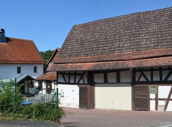
![Tour Zu Fuß Weilrod - Eichenblatt - Photo](https://media.geolcdn.com/t/350/260/40e6ad64-1ada-4c44-b40d-474c23638a65.jpeg&format=jpg&maxdim=2)
![Zu Fuß Zu Fuß](https://static1.geolcdn.com/sitytour/trail-icons/100.png)
Km
Zu Fuß
![](/images/other/stat-length.png)
![](https://static1.geolcdn.com/siteimages/upload/files/1508320355ic_sort_den_pos_24dp.png)
![](https://static1.geolcdn.com/siteimages/upload/files/1508320355ic_sort_den_neg_24dp.png)
![](https://static1.geolcdn.com/siteimages/upload/files/16400158638029165_repeat_loop_refresh_sync_direction_icon.png)
• Trail created by Naturpark Hochtaunus. Symbol: Grünes Eichenblatt auf weißem Grund
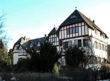
![Tour Zu Fuß Oberursel - Urselbach Mühlenwanderweg - Photo](https://media.geolcdn.com/t/350/260/d4753469-b2af-4e8b-a998-65d5d652f091.jpeg&format=jpg&maxdim=2)
![Zu Fuß Zu Fuß](https://static1.geolcdn.com/sitytour/trail-icons/100.png)
Km
Zu Fuß
![](/images/other/stat-length.png)
![](https://static1.geolcdn.com/siteimages/upload/files/1508320355ic_sort_den_pos_24dp.png)
![](https://static1.geolcdn.com/siteimages/upload/files/1508320355ic_sort_den_neg_24dp.png)
![](https://static1.geolcdn.com/siteimages/upload/files/16400158638029165_repeat_loop_refresh_sync_direction_icon.png)
• Trail created by Stadt Oberursel. Symbol: stilisiertes Mühlrad, Wasserlauf und Wasserflohkrebs
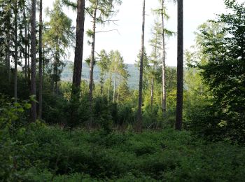
![Tour Zu Fuß Oberursel - Keltenrundwanderweg - Photo](https://media.geolcdn.com/t/350/260/ffbfae36-db35-4137-8668-6a9bc78d0ee9.jpeg&format=jpg&maxdim=2)
![Zu Fuß Zu Fuß](https://static1.geolcdn.com/sitytour/trail-icons/100.png)
Km
Zu Fuß
![](/images/other/stat-length.png)
![](https://static1.geolcdn.com/siteimages/upload/files/1508320355ic_sort_den_pos_24dp.png)
![](https://static1.geolcdn.com/siteimages/upload/files/1508320355ic_sort_den_neg_24dp.png)
![](https://static1.geolcdn.com/siteimages/upload/files/16400158638029165_repeat_loop_refresh_sync_direction_icon.png)
• Trail created by Taunusklub Oberursel. Symbol: Keltenkopf in schwarzem Ring
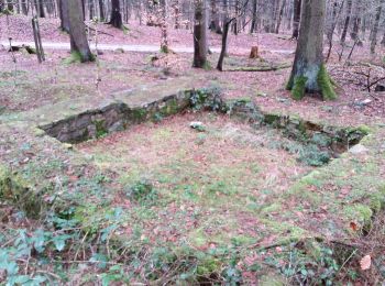
![Tour Zu Fuß Friedrichsdorf - Fuchslöcher - Lochmühle - Köpperner Tal - Photo](https://media.geolcdn.com/t/350/260/26c8854e-1f37-4fec-bdb2-7be908b407bc.jpeg&format=jpg&maxdim=2)
![Zu Fuß Zu Fuß](https://static1.geolcdn.com/sitytour/trail-icons/100.png)
Km
Zu Fuß
![](/images/other/stat-length.png)
![](https://static1.geolcdn.com/siteimages/upload/files/1508320355ic_sort_den_pos_24dp.png)
![](https://static1.geolcdn.com/siteimages/upload/files/1508320355ic_sort_den_neg_24dp.png)
![](https://static1.geolcdn.com/siteimages/upload/files/16400158638029165_repeat_loop_refresh_sync_direction_icon.png)
• Trail created by Naturpark Hochtaunus. Symbol: Geweih schwarz
![Tour Zu Fuß Friedrichsdorf - Saalburg - Gickelsburg - Batzenbäumchen - Photo](https://media.geolcdn.com/t/350/260/bcee88a5-d05b-4918-b300-1477539cc0cc.jpeg&format=jpg&maxdim=2)
![Zu Fuß Zu Fuß](https://static1.geolcdn.com/sitytour/trail-icons/100.png)
Km
Zu Fuß
![](/images/other/stat-length.png)
![](https://static1.geolcdn.com/siteimages/upload/files/1508320355ic_sort_den_pos_24dp.png)
![](https://static1.geolcdn.com/siteimages/upload/files/1508320355ic_sort_den_neg_24dp.png)
![](https://static1.geolcdn.com/siteimages/upload/files/16400158638029165_repeat_loop_refresh_sync_direction_icon.png)
• Trail created by Naturpark Hochtaunus. Symbol: Erlenblatt
![Tour Zu Fuß Friedrichsdorf - Friedrichsdorf-Saalburg - Photo](https://media.geolcdn.com/t/350/260/fcb99227-d76c-48d3-981a-81746c400109.jpeg&format=jpg&maxdim=2)
![Zu Fuß Zu Fuß](https://static1.geolcdn.com/sitytour/trail-icons/100.png)
Km
Zu Fuß
![](/images/other/stat-length.png)
![](https://static1.geolcdn.com/siteimages/upload/files/1508320355ic_sort_den_pos_24dp.png)
![](https://static1.geolcdn.com/siteimages/upload/files/1508320355ic_sort_den_neg_24dp.png)
![](https://static1.geolcdn.com/siteimages/upload/files/16400158638029165_repeat_loop_refresh_sync_direction_icon.png)
20 Angezeigte Touren bei 24
Kostenlosegpshiking-Anwendung