


6,4 km | 7,8 km-effort
Landkreis Hildburghausen : Entdecken Sie die besten Touren : 21 zu fuß. Alle diese Touren, Trails, Routen und Outdoor-Aktivitäten sind in unseren SityTrail-Apps für Smartphones und Tablets verfügbar.
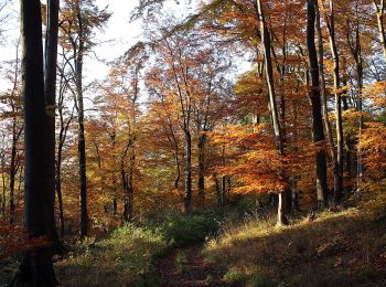
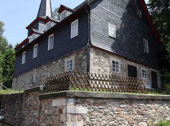
Zu Fuß


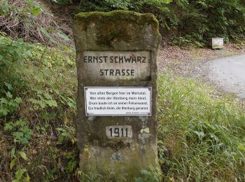
• Trail created by Thüringerwald-Verein Coburg e. V..
Zu Fuß
• Trail created by Thüringerwald-Verein Coburg e. V..
Zu Fuß
• Trail created by Thüringerwald-Verein Coburg e. V..

Zu Fuß
• Symbol: grüner diagonaler Strich auf weißem Grund
Zu Fuß
• Symbol: gelbes R auf grünen Hinweisschildern
Zu Fuß
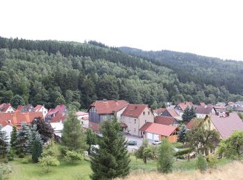
• Infoportal der Verwaltungsgemeinschaft Feldstein mit den Mitgliedsgemeinden Ahlstädt, Bischofrod, Beinerstadt, Dingsl...
Zu Fuß
• Symbol: Grüner Punkt
Zu Fuß
• Symbol: Rotes Dreieck
Zu Fuß
• Infoportal der Verwaltungsgemeinschaft Feldstein mit den Mitgliedsgemeinden Ahlstädt, Bischofrod, Beinerstadt, Dingsl...
Zu Fuß
• Symbol: Grüner Punkt auf weißem Grund
Zu Fuß
• Symbol: Gelbes Dreieck auf weißem Grund
Zu Fuß
• Symbol: grüner Punkt auf weißem Grund
Zu Fuß
Zu Fuß
Zu Fuß
Zu Fuß
• Infoportal der Verwaltungsgemeinschaft Feldstein mit den Mitgliedsgemeinden Ahlstädt, Bischofrod, Beinerstadt, Dingsl...
Zu Fuß
Zu Fuß

Zu Fuß
• Symbol: Grüner Balken auf weißem Grund
Zu Fuß
20 Angezeigte Touren bei 21
Kostenlosegpshiking-Anwendung
 SityTrail
IGN / Geografische Institute
SityTrail World
Die Welt öffnet sich für Sie