


3,4 km | 3,7 km-effort
Kreis Coesfeld : Entdecken Sie die besten Touren : 38 zu fuß. Alle diese Touren, Trails, Routen und Outdoor-Aktivitäten sind in unseren SityTrail-Apps für Smartphones und Tablets verfügbar.

Zu Fuß


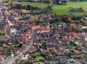
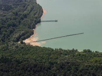
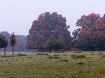
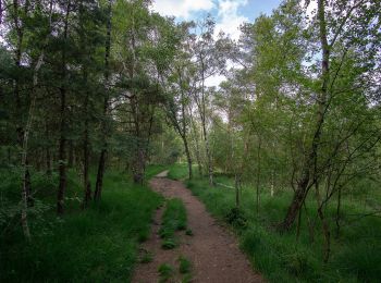
• Die Baumberge im Münsterland - wunderschöne Parklandschaft. Besonders für Radfahrer und Wanderer ist die Region ein h...
Zu Fuß
• Die Baumberge im Münsterland - wunderschöne Parklandschaft. Besonders für Radfahrer und Wanderer ist die Region ein h...

Zu Fuß
• Die Baumberge im Münsterland - wunderschöne Parklandschaft. Besonders für Radfahrer und Wanderer ist die Region ein h...

Zu Fuß
• Die Baumberge im Münsterland - wunderschöne Parklandschaft. Besonders für Radfahrer und Wanderer ist die Region ein h...
Zu Fuß
• Die Baumberge im Münsterland - wunderschöne Parklandschaft. Besonders für Radfahrer und Wanderer ist die Region ein h...
Zu Fuß
• Die Baumberge im Münsterland - wunderschöne Parklandschaft. Besonders für Radfahrer und Wanderer ist die Region ein h...
Zu Fuß
• Die Baumberge im Münsterland - wunderschöne Parklandschaft. Besonders für Radfahrer und Wanderer ist die Region ein h...
Zu Fuß
• Die Baumberge im Münsterland - wunderschöne Parklandschaft. Besonders für Radfahrer und Wanderer ist die Region ein h...
Zu Fuß
• Trail created by Baumberge Touristik. Symbol: weißes N3 in weißem Kreis auf schwarzem Grund
Zu Fuß
• Trail created by Westfälischer Heimatbund. Symbol: A6
Zu Fuß
• Trail created by land-schafft.
Zu Fuß
• Trail created by Sauerländischer Gebirgsverein. Symbol: A6

Zu Fuß
• Trail created by Sauerländischer Gebirgsverein. Symbol: A4
Zu Fuß
• Trail created by Sauerländischer Gebirgsverein. Symbol: A3
Zu Fuß
• Trail created by Heimatverein Senden. Symbol: A9
Zu Fuß
• Trail created by Sauerländischer Gebirgsverein. Symbol: A3
Zu Fuß
• Trail created by Sauerländischer Gebirgsverein. Symbol: A1
Zu Fuß
• Trail created by WHB. Symbol: A5
Zu Fuß
• Trail created by Westfälischer Heimatbund. Symbol: A3
Zu Fuß
• Trail created by Westfälischer Heimatbund. Symbol: A2
20 Angezeigte Touren bei 38
Kostenlosegpshiking-Anwendung
 SityTrail
IGN / Geografische Institute
SityTrail World
Die Welt öffnet sich für Sie