


6 km | 6,7 km-effort
Unbekannt : Entdecken Sie die besten Touren : 15 zu fuß und 1 wandern. Alle diese Touren, Trails, Routen und Outdoor-Aktivitäten sind in unseren SityTrail-Apps für Smartphones und Tablets verfügbar.
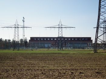
Zu Fuß


• Trail created by Stadt Mannheim.
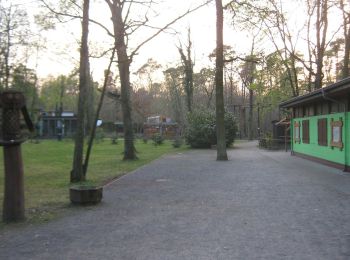
Zu Fuß
• Trail created by Stadt Mannheim.
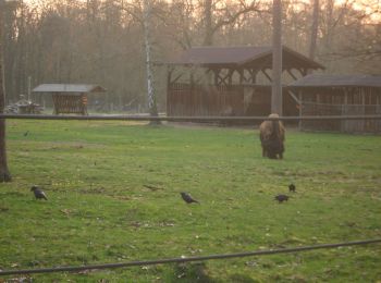
Zu Fuß
• Trail created by Stadt Mannheim.
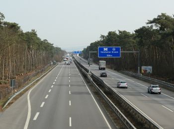
Zu Fuß
• Trail created by Stadt Mannheim.
Zu Fuß
• Trail created by Stadt Mannheim. im Zuge der Neuregelung der Besucherströme ist der Verlauf etwas geändert worden
Zu Fuß
• Trail created by Stadt Mannheim.
Zu Fuß
• Trail created by Geo-Naturpark Bergstraße-Odenwald e.V.. Symbol: Yellow 6 in yellow circle
Zu Fuß
• Trail created by Geo-Naturpark Bergstraße-Odenwald e.V.. Symbol: Yellow 5 in yellow circle
Zu Fuß
• Trail created by Geo-Naturpark Bergstraße-Odenwald e.V.. Symbol: Yellow 3 in yellow circle
Zu Fuß
• Trail created by Geo-Naturpark Bergstraße-Odenwald e.V.. Symbol: Yellow 2 in yellow circle
Zu Fuß
• Trail created by Geo-Naturpark Bergstraße-Odenwald e.V.. Symbol: Yellow 1 in yellow circle
Zu Fuß
• Trail created by Geo-Naturpark Bergstraße-Odenwald e.V.. Symbol: Yellow 4 in yellow circle
Zu Fuß
• Trail created by Geo-Naturpark Bergstraße-Odenwald e.V.. Symbol: Yellow 7 in yellow circle

Zu Fuß
• wird auf hessischer Seite nicht mehr gepflegt und wurde deshalb komplett aufgegeben Symbol: Yellow 9 in yellow circle
Zu Fuß
• Trail created by Geo-Naturpark Bergstraße-Odenwald e.V.. Symbol: yellow 8 in yellow circle

Wandern
16 Angezeigte Touren bei 16
Kostenlosegpshiking-Anwendung
 SityTrail
IGN / Geografische Institute
SityTrail World
Die Welt öffnet sich für Sie