


10,3 km | 13,2 km-effort
Gemarkung Horb am Neckar : Entdecken Sie die besten Touren : 5 zu fuß. Alle diese Touren, Trails, Routen und Outdoor-Aktivitäten sind in unseren SityTrail-Apps für Smartphones und Tablets verfügbar.
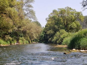
Zu Fuß


• Trail created by Schwäbischer Albverein - Ortsgruppe Horb am Neckar. Symbol: blaues Kreuz auf weißem Grund
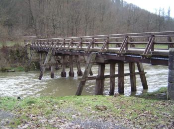
Zu Fuß
• Trail created by Schwäbischer Albverein - Ortsgruppe Dettingen. Symbol: rotes Kreuz auf weißem Grund
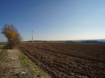
Zu Fuß
• Trail created by Schwarzwaldverein. Symbol: Blaue Raute auf weißem Grund
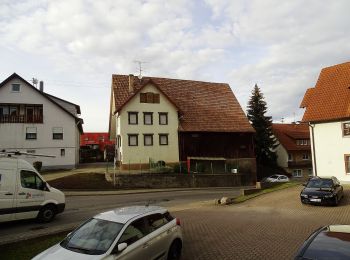
Zu Fuß
• Trail created by Schwarzwaldverein. Symbol: Blaue Raute auf weißem Grund
Zu Fuß
• Trail created by Schwarzwaldverein. Symbol: Blaue Raute auf weißem Grund
5 Angezeigte Touren bei 5
Kostenlosegpshiking-Anwendung
 SityTrail
IGN / Geografische Institute
SityTrail World
Die Welt öffnet sich für Sie