


3,3 km | 4,3 km-effort
Landkreis Emmendingen : Entdecken Sie die besten Touren : 35 zu fuß und 11 wandern. Alle diese Touren, Trails, Routen und Outdoor-Aktivitäten sind in unseren SityTrail-Apps für Smartphones und Tablets verfügbar.
Zu Fuß


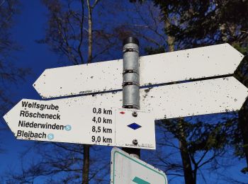
• Trail created by Schwarzwaldverein. Symbol: Gelbe Raute auf weißem Grund
Zu Fuß
• Trail created by Schwarzwaldverein. Symbol: Gelbe Raute auf weißem Grund
Zu Fuß
• Trail created by Schwarzwaldverein. Symbol: Gelbe Raute auf weißem Grund
Zu Fuß
• Trail created by Schwarzwaldverein. Symbol: Blaue Raute auf weißem Grund
Zu Fuß
• Trail created by Schwarzwaldverein. Symbol: Blaue Raute auf weißem Grund
Zu Fuß
• Trail created by Schwarzwaldverein. Symbol: Blaue Raute auf weißem Grund
Zu Fuß
• Trail created by Schwarzwaldverein. Symbol: Gelbe Raute auf weißem Grund
Zu Fuß
• Trail created by PLENUM Naturgarten Kaiserstuhl.
Zu Fuß
• Trail created by Schwarzwaldverein. Symbol: Blaue Raute auf weißem Grund
Zu Fuß
• Trail created by Schwarzwaldverein. Symbol: Blaue Raute auf weißem Grund
Zu Fuß
• Trail created by Schwarzwaldverein. Symbol: Blaue Raute auf weißem Grund
Zu Fuß
• Trail created by Schwarzwaldverein Waldkirch-Kandel.
Zu Fuß
• Der Kirschbaumpfad zum Wandern von Sasbach nach Riegel. Der Themenpfad am Kaiserstuhl verbindet das Wandern und die N...
Zu Fuß
• Symbol: green lime tree leaf
Zu Fuß
• Trail created by Schwarzwaldverein. Symbol: Blaue Raute auf weißem Grund

Zu Fuß
• Trail created by Schwarzwaldverein. Symbol: Blaue Raute auf weißem Grund
Zu Fuß
• Trail created by Schwarzwaldverein. Symbol: Gelbe Raute auf weißem Grund
Wandern
Zu Fuß
• Trail created by Schwarzwaldverein. Symbol: Gelbe Raute auf weißem Grund
Zu Fuß
20 Angezeigte Touren bei 46
Kostenlosegpshiking-Anwendung
 SityTrail
IGN / Geografische Institute
SityTrail World
Die Welt öffnet sich für Sie