


23 km | 27 km-effort
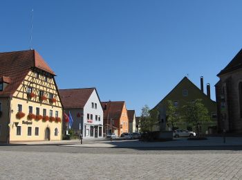
Allersberg : Entdecken Sie die besten Touren : 8 zu fuß. Alle diese Touren, Trails, Routen und Outdoor-Aktivitäten sind in unseren SityTrail-Apps für Smartphones und Tablets verfügbar.
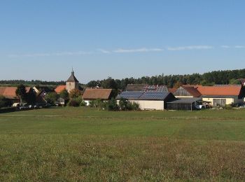
Zu Fuß


• Übernommen aus einer GPX-Vorlage des Landkreises, mit Genehmigung des Amtes für Kultur und Tourismus (siehe http://wi...
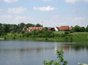
Zu Fuß
• Trail created by Markt Allersberg. Symbol: t.b.d.
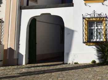
Zu Fuß
• Trail created by Markt Allersberg. Symbol: t.b.d.
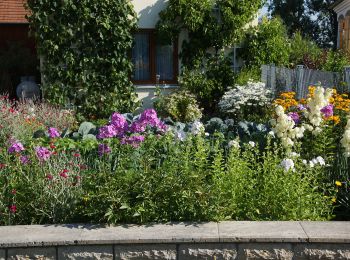
Zu Fuß
• Trail created by Markt Allersberg. Symbol: t.b.d.
Zu Fuß
• Trail created by Zweckverband Rothsee. abgeschlossen (Nov. 2013 by cycling_zno) Symbol: Weisse 5 auf blauem Grund
Zu Fuß
• Trail created by Gemeinde Pyrbaum. abgeschlossen (Jan. 2013 by cycling_zno) Symbol: schwarze Kirche auf violettem G...
Zu Fuß
• Trail created by Zweckverband Rothsee. abgeschlossen (Nov. 2013 by cycling_zno) Symbol: Weisse 4 auf blauem Grund

Zu Fuß
• Trail created by Markt Allersberg. Symbol: t.b.d.
8 Angezeigte Touren bei 8
Kostenlosegpshiking-Anwendung
 SityTrail
IGN / Geografische Institute
SityTrail World
Die Welt öffnet sich für Sie