![](/images/other/stat-length.png)
Landkreis Schwandorf, Bayern, Zu Fuß: Die besten Touren, Trails, Trecks und Wanderungen
Landkreis Schwandorf : Entdecken Sie die besten Touren : 87 zu fuß. Alle diese Touren, Trails, Routen und Outdoor-Aktivitäten sind in unseren SityTrail-Apps für Smartphones und Tablets verfügbar.
Die besten Spuren (87)
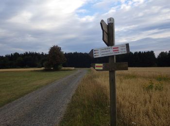
![Tour Zu Fuß Stadlern - Bayern-Böhmen-Runde 1 - Photo](https://media.geolcdn.com/t/350/260/5c6815e6-3769-4191-92da-29f50be62a8f.jpeg&format=jpg&maxdim=2)
![Zu Fuß Zu Fuß](https://static1.geolcdn.com/sitytour/trail-icons/100.png)
Km
Zu Fuß
![](/images/other/stat-length.png)
![](https://static1.geolcdn.com/siteimages/upload/files/1508320355ic_sort_den_pos_24dp.png)
![](https://static1.geolcdn.com/siteimages/upload/files/1508320355ic_sort_den_neg_24dp.png)
![](https://static1.geolcdn.com/siteimages/upload/files/16400158638029165_repeat_loop_refresh_sync_direction_icon.png)
• Symbol: auf gelben Grund in schwarz "BB1"
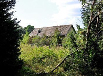
![Tour Zu Fuß Schönsee - Bayern-Böhmen-Runde 2 - Photo](https://media.geolcdn.com/t/350/260/1bf5b631-87d9-4d98-a1f8-ac378680ac95.jpeg&format=jpg&maxdim=2)
![Zu Fuß Zu Fuß](https://static1.geolcdn.com/sitytour/trail-icons/100.png)
Km
Zu Fuß
![](/images/other/stat-length.png)
![](https://static1.geolcdn.com/siteimages/upload/files/1508320355ic_sort_den_pos_24dp.png)
![](https://static1.geolcdn.com/siteimages/upload/files/1508320355ic_sort_den_neg_24dp.png)
![](https://static1.geolcdn.com/siteimages/upload/files/16400158638029165_repeat_loop_refresh_sync_direction_icon.png)
• Symbol: auf gelben Grund in schwarz "BB2"
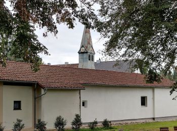
![Tour Zu Fuß - Wilder Mann 013 »Taxölderner Weg«, Naturpark Vorderer Bayerischer Wald - Photo](https://media.geolcdn.com/t/350/260/9a718f5c-33b3-49e3-a813-63a6e0aad6fc.jpeg&format=jpg&maxdim=2)
![Zu Fuß Zu Fuß](https://static1.geolcdn.com/sitytour/trail-icons/100.png)
Km
Zu Fuß
![](/images/other/stat-length.png)
![](https://static1.geolcdn.com/siteimages/upload/files/1508320355ic_sort_den_pos_24dp.png)
![](https://static1.geolcdn.com/siteimages/upload/files/1508320355ic_sort_den_neg_24dp.png)
![](https://static1.geolcdn.com/siteimages/upload/files/16400158638029165_repeat_loop_refresh_sync_direction_icon.png)
• Trail created by Verein Naturpark Vorderer Bayerischer Wald. Symbol: Auf einem rechteckigen weißen Grund in Schwarz ...
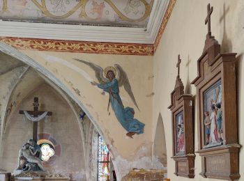
![Tour Zu Fuß - Wilder Mann 016, Naturpark Vorderer Bayerischer Wald - Photo](https://media.geolcdn.com/t/350/260/9567f275-9f32-44fa-9f85-c994193f4624.jpeg&format=jpg&maxdim=2)
![Zu Fuß Zu Fuß](https://static1.geolcdn.com/sitytour/trail-icons/100.png)
Km
Zu Fuß
![](/images/other/stat-length.png)
![](https://static1.geolcdn.com/siteimages/upload/files/1508320355ic_sort_den_pos_24dp.png)
![](https://static1.geolcdn.com/siteimages/upload/files/1508320355ic_sort_den_neg_24dp.png)
![](https://static1.geolcdn.com/siteimages/upload/files/16400158638029165_repeat_loop_refresh_sync_direction_icon.png)
• Trail created by Verein Naturpark Vorderer Bayerischer Wald. Symbol: Auf einem rechteckigen weißen Grund in Schwarz ...
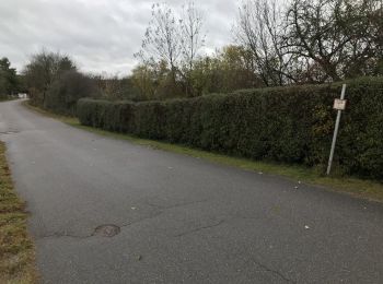
![Tour Zu Fuß Nittenau - Wilder Mann 009 »Regentalwanderweg«, Naturpark Vorderer Bayerischer Wald - Photo](https://media.geolcdn.com/t/350/260/1c5de2b3-781f-493a-8e5f-c504ed68cfc5.jpeg&format=jpg&maxdim=2)
![Zu Fuß Zu Fuß](https://static1.geolcdn.com/sitytour/trail-icons/100.png)
Km
Zu Fuß
![](/images/other/stat-length.png)
![](https://static1.geolcdn.com/siteimages/upload/files/1508320355ic_sort_den_pos_24dp.png)
![](https://static1.geolcdn.com/siteimages/upload/files/1508320355ic_sort_den_neg_24dp.png)
![](https://static1.geolcdn.com/siteimages/upload/files/16400158638029165_repeat_loop_refresh_sync_direction_icon.png)
• Trail created by Verein Naturpark Vorderer Bayerischer Wald. Symbol: Auf einem rechteckigen weißen Grund in Schwarz ...
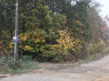
![Tour Zu Fuß Nittenau - Wilder Mann 008, Naturpark Vorderer Bayerischer Wald - Photo](https://media.geolcdn.com/t/350/260/5e7385f0-182f-4a14-8c7b-a014f82a934c.jpeg&format=jpg&maxdim=2)
![Zu Fuß Zu Fuß](https://static1.geolcdn.com/sitytour/trail-icons/100.png)
Km
Zu Fuß
![](/images/other/stat-length.png)
![](https://static1.geolcdn.com/siteimages/upload/files/1508320355ic_sort_den_pos_24dp.png)
![](https://static1.geolcdn.com/siteimages/upload/files/1508320355ic_sort_den_neg_24dp.png)
![](https://static1.geolcdn.com/siteimages/upload/files/16400158638029165_repeat_loop_refresh_sync_direction_icon.png)
• Trail created by Verein Naturpark Vorderer Bayerischer Wald. Symbol: Auf einem rechteckigen weißen Grund in Schwarz ...
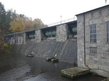
![Tour Zu Fuß Trausnitz - Trausnitz - Rabenleite - Photo](https://media.geolcdn.com/t/350/260/0b4758c0-a7e6-480f-8d5f-22de613c2429.jpeg&format=jpg&maxdim=2)
![Zu Fuß Zu Fuß](https://static1.geolcdn.com/sitytour/trail-icons/100.png)
Km
Zu Fuß
![](/images/other/stat-length.png)
![](https://static1.geolcdn.com/siteimages/upload/files/1508320355ic_sort_den_pos_24dp.png)
![](https://static1.geolcdn.com/siteimages/upload/files/1508320355ic_sort_den_neg_24dp.png)
![](https://static1.geolcdn.com/siteimages/upload/files/16400158638029165_repeat_loop_refresh_sync_direction_icon.png)
• Symbol: Rotes Andreaskreuz auf weißem Grund
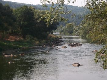
![Tour Zu Fuß Maxhütte-Haidhof - Regentalsteig nach Hirschling (Gelbe 8) - Photo](https://media.geolcdn.com/t/350/260/b11983bc-bc26-43bd-9762-2dddd756d7eb.jpeg&format=jpg&maxdim=2)
![Zu Fuß Zu Fuß](https://static1.geolcdn.com/sitytour/trail-icons/100.png)
Km
Zu Fuß
![](/images/other/stat-length.png)
![](https://static1.geolcdn.com/siteimages/upload/files/1508320355ic_sort_den_pos_24dp.png)
![](https://static1.geolcdn.com/siteimages/upload/files/1508320355ic_sort_den_neg_24dp.png)
![](https://static1.geolcdn.com/siteimages/upload/files/16400158638029165_repeat_loop_refresh_sync_direction_icon.png)
• Trail created by Stadt Burglengenfeld, Stadt Teublitz, Stadt Maxhütte-Haidhof.
![Tour Zu Fuß Maxhütte-Haidhof - Ökumenischer Besinnungsweg Thema](https://media.geolcdn.com/t/350/260/c914bf07-7efa-46ed-9460-9376ea7cffb3.jpeg&format=jpg&maxdim=2)
![Zu Fuß Zu Fuß](https://static1.geolcdn.com/sitytour/trail-icons/100.png)
Km
Zu Fuß
![](/images/other/stat-length.png)
![](https://static1.geolcdn.com/siteimages/upload/files/1508320355ic_sort_den_pos_24dp.png)
![](https://static1.geolcdn.com/siteimages/upload/files/1508320355ic_sort_den_neg_24dp.png)
![](https://static1.geolcdn.com/siteimages/upload/files/16400158638029165_repeat_loop_refresh_sync_direction_icon.png)
• Trail created by Stadt Burglengenfeld, Stadt Teublitz, Stadt Maxhütte-Haidhof. Symbol: yellow_round with white 14
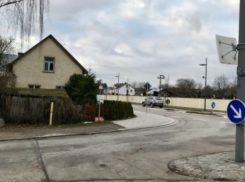
![Tour Zu Fuß Nittenau - Wilder Mann 001](https://media.geolcdn.com/t/350/260/29912832-82cf-486b-b328-f1633f38e9da.jpeg&format=jpg&maxdim=2)
![Zu Fuß Zu Fuß](https://static1.geolcdn.com/sitytour/trail-icons/100.png)
Km
Zu Fuß
![](/images/other/stat-length.png)
![](https://static1.geolcdn.com/siteimages/upload/files/1508320355ic_sort_den_pos_24dp.png)
![](https://static1.geolcdn.com/siteimages/upload/files/1508320355ic_sort_den_neg_24dp.png)
![](https://static1.geolcdn.com/siteimages/upload/files/16400158638029165_repeat_loop_refresh_sync_direction_icon.png)
• Trail created by Verein Naturpark Vorderer Bayerischer Wald e.V.. Symbol: Auf einem rechteckigen weißen Grund in Sch...
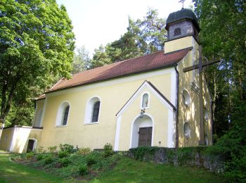
![Tour Zu Fuß Neunburg vorm Wald - Büchelbergweg - Photo](https://media.geolcdn.com/t/350/260/885fc9a6-1b2b-4d3c-9dfe-95d49f7ddde0.jpeg&format=jpg&maxdim=2)
![Zu Fuß Zu Fuß](https://static1.geolcdn.com/sitytour/trail-icons/100.png)
Km
Zu Fuß
![](/images/other/stat-length.png)
![](https://static1.geolcdn.com/siteimages/upload/files/1508320355ic_sort_den_pos_24dp.png)
![](https://static1.geolcdn.com/siteimages/upload/files/1508320355ic_sort_den_neg_24dp.png)
![](https://static1.geolcdn.com/siteimages/upload/files/16400158638029165_repeat_loop_refresh_sync_direction_icon.png)
• Trail created by Oberpfaelzer Seenland.
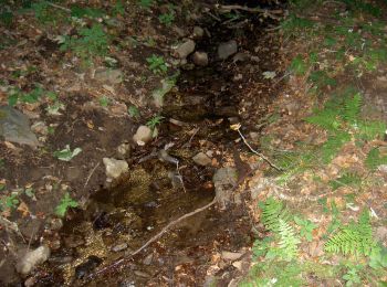
![Tour Zu Fuß Stadlern - 432 Goldbrunnenweg - Photo](https://media.geolcdn.com/t/350/260/02375514-0f4a-4fdd-8219-9f52e96ce395.jpeg&format=jpg&maxdim=2)
![Zu Fuß Zu Fuß](https://static1.geolcdn.com/sitytour/trail-icons/100.png)
Km
Zu Fuß
![](/images/other/stat-length.png)
![](https://static1.geolcdn.com/siteimages/upload/files/1508320355ic_sort_den_pos_24dp.png)
![](https://static1.geolcdn.com/siteimages/upload/files/1508320355ic_sort_den_neg_24dp.png)
![](https://static1.geolcdn.com/siteimages/upload/files/16400158638029165_repeat_loop_refresh_sync_direction_icon.png)
• Symbol: Schwarze Wegnummer auf gelben Grund
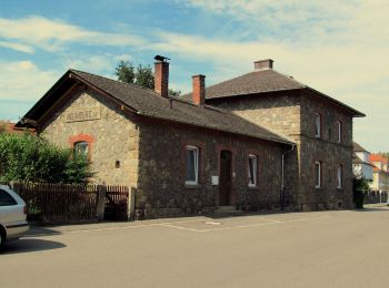
![Tour Zu Fuß Neunburg vorm Wald - Hirschbergweg - Photo](https://media.geolcdn.com/t/350/260/7cedd8e3-6a49-43ec-9e0f-48d84d531732.jpeg&format=jpg&maxdim=2)
![Zu Fuß Zu Fuß](https://static1.geolcdn.com/sitytour/trail-icons/100.png)
Km
Zu Fuß
![](/images/other/stat-length.png)
![](https://static1.geolcdn.com/siteimages/upload/files/1508320355ic_sort_den_pos_24dp.png)
![](https://static1.geolcdn.com/siteimages/upload/files/1508320355ic_sort_den_neg_24dp.png)
![](https://static1.geolcdn.com/siteimages/upload/files/16400158638029165_repeat_loop_refresh_sync_direction_icon.png)
• Trail created by Oberpfälzer Seenland. Symbol: Gelber Punkt auf weißem Grund Website: https://www.oberpfaelzer-see...
![Tour Zu Fuß Thanstein - Moosweg - Photo](https://media.geolcdn.com/t/350/260/1b793e07-7979-45a2-b2ee-2247369056e3.jpeg&format=jpg&maxdim=2)
![Zu Fuß Zu Fuß](https://static1.geolcdn.com/sitytour/trail-icons/100.png)
Km
Zu Fuß
![](/images/other/stat-length.png)
![](https://static1.geolcdn.com/siteimages/upload/files/1508320355ic_sort_den_pos_24dp.png)
![](https://static1.geolcdn.com/siteimages/upload/files/1508320355ic_sort_den_neg_24dp.png)
![](https://static1.geolcdn.com/siteimages/upload/files/16400158638029165_repeat_loop_refresh_sync_direction_icon.png)
• Trail created by Verwaltungsgem. Neunburg v. Wald. Symbol: weißes Rechteck mit schwarzer Schrift K 4 oder gelbes Rec...
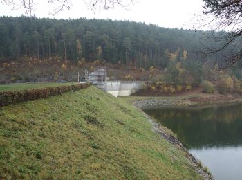
![Tour Zu Fuß Thanstein - Kaisereichenweg - Photo](https://media.geolcdn.com/t/350/260/cda28eb4-819a-4750-a893-aa0bfcb85ab1.jpeg&format=jpg&maxdim=2)
![Zu Fuß Zu Fuß](https://static1.geolcdn.com/sitytour/trail-icons/100.png)
Km
Zu Fuß
![](/images/other/stat-length.png)
![](https://static1.geolcdn.com/siteimages/upload/files/1508320355ic_sort_den_pos_24dp.png)
![](https://static1.geolcdn.com/siteimages/upload/files/1508320355ic_sort_den_neg_24dp.png)
![](https://static1.geolcdn.com/siteimages/upload/files/16400158638029165_repeat_loop_refresh_sync_direction_icon.png)
• Trail created by Verwaltungsgem. Neunburg v. Wald. Symbol: Rechteck weiß mit schwarzer Schrift T 6
![Tour Zu Fuß Thanstein - Mühlweiherweg](https://media.geolcdn.com/t/350/260/1b793e07-7979-45a2-b2ee-2247369056e3.jpeg&format=jpg&maxdim=2)
![Zu Fuß Zu Fuß](https://static1.geolcdn.com/sitytour/trail-icons/100.png)
Km
Zu Fuß
![](/images/other/stat-length.png)
![](https://static1.geolcdn.com/siteimages/upload/files/1508320355ic_sort_den_pos_24dp.png)
![](https://static1.geolcdn.com/siteimages/upload/files/1508320355ic_sort_den_neg_24dp.png)
![](https://static1.geolcdn.com/siteimages/upload/files/16400158638029165_repeat_loop_refresh_sync_direction_icon.png)
• Trail created by Verwaltungsgem. Neunburg v. Wald.
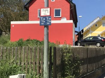
![Tour Zu Fuß Nittenau - Wanderwege rund um Nittenau - 01 - Wasserstein - Photo](https://media.geolcdn.com/t/350/260/c6556976-d120-4c26-ac90-4c44d35627fa.jpeg&format=jpg&maxdim=2)
![Zu Fuß Zu Fuß](https://static1.geolcdn.com/sitytour/trail-icons/100.png)
Km
Zu Fuß
![](/images/other/stat-length.png)
![](https://static1.geolcdn.com/siteimages/upload/files/1508320355ic_sort_den_pos_24dp.png)
![](https://static1.geolcdn.com/siteimages/upload/files/1508320355ic_sort_den_neg_24dp.png)
![](https://static1.geolcdn.com/siteimages/upload/files/16400158638029165_repeat_loop_refresh_sync_direction_icon.png)
• Trail created by Stadt Nittenau. FIXME: Nicht alle Segmente erfaßt. Symbol: Auf weißem Grund unten in rot die Wegnu...
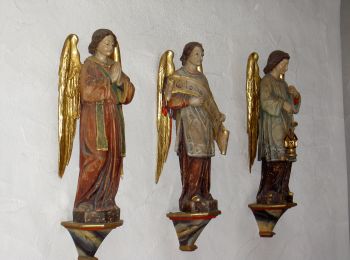
![Tour Zu Fuß Neunburg vorm Wald - Schwarzwihrbergweg - Photo](https://media.geolcdn.com/t/350/260/eb056ad9-ae63-4485-bc2a-42f9b604a256.jpeg&format=jpg&maxdim=2)
![Zu Fuß Zu Fuß](https://static1.geolcdn.com/sitytour/trail-icons/100.png)
Km
Zu Fuß
![](/images/other/stat-length.png)
![](https://static1.geolcdn.com/siteimages/upload/files/1508320355ic_sort_den_pos_24dp.png)
![](https://static1.geolcdn.com/siteimages/upload/files/1508320355ic_sort_den_neg_24dp.png)
![](https://static1.geolcdn.com/siteimages/upload/files/16400158638029165_repeat_loop_refresh_sync_direction_icon.png)
• Trail created by Oberpfälzer Seenland. Symbol: Quadratischer weißer Hintergrund mit großem rotem Punkt

![Tour Zu Fuß Wernberg-Köblitz - Landgrafenweg - Photo](https://media.geolcdn.com/t/350/260/3e7ad696-1a89-4e13-865d-ecfe842c33fc.jpeg&format=jpg&maxdim=2)
![Zu Fuß Zu Fuß](https://static1.geolcdn.com/sitytour/trail-icons/100.png)
Km
Zu Fuß
![](/images/other/stat-length.png)
![](https://static1.geolcdn.com/siteimages/upload/files/1508320355ic_sort_den_pos_24dp.png)
![](https://static1.geolcdn.com/siteimages/upload/files/1508320355ic_sort_den_neg_24dp.png)
![](https://static1.geolcdn.com/siteimages/upload/files/16400158638029165_repeat_loop_refresh_sync_direction_icon.png)
• Trail created by Oberpfälzer Wald-Verein.
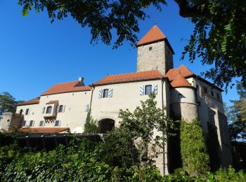
![Tour Zu Fuß Wernberg-Köblitz - Wanderroute Lindacher Weg - Photo](https://media.geolcdn.com/t/350/260/dea6cde2-e0f4-4166-ae38-14448b38a674.jpeg&format=jpg&maxdim=2)
![Zu Fuß Zu Fuß](https://static1.geolcdn.com/sitytour/trail-icons/100.png)
Km
Zu Fuß
![](/images/other/stat-length.png)
![](https://static1.geolcdn.com/siteimages/upload/files/1508320355ic_sort_den_pos_24dp.png)
![](https://static1.geolcdn.com/siteimages/upload/files/1508320355ic_sort_den_neg_24dp.png)
![](https://static1.geolcdn.com/siteimages/upload/files/16400158638029165_repeat_loop_refresh_sync_direction_icon.png)
• Trail created by Oberpfälzer Waldverein. Symbol: roter mittiger Querbalken auf weißem Grund Website: https://www.o...
20 Angezeigte Touren bei 87
Kostenlosegpshiking-Anwendung