![](/images/other/stat-length.png)
Durach, Landkreis Oberallgäu, Zu Fuß: Die besten Touren, Trails, Trecks und Wanderungen
Durach : Entdecken Sie die besten Touren : 14 zu fuß. Alle diese Touren, Trails, Routen und Outdoor-Aktivitäten sind in unseren SityTrail-Apps für Smartphones und Tablets verfügbar.
Die besten Spuren (14)
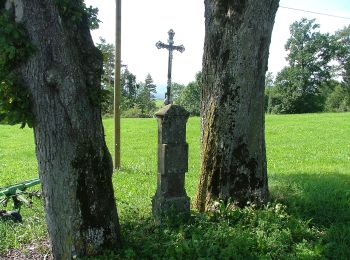
![Tour Zu Fuß Durach - Durach: Bodelsberg-Runde - Photo](https://media.geolcdn.com/t/350/260/212122d4-74aa-4850-8c30-3d2bf24e9a5e.jpeg&format=jpg&maxdim=2)
![Zu Fuß Zu Fuß](https://static1.geolcdn.com/sitytour/trail-icons/100.png)
Km
Zu Fuß
![](/images/other/stat-length.png)
![](https://static1.geolcdn.com/siteimages/upload/files/1508320355ic_sort_den_pos_24dp.png)
![](https://static1.geolcdn.com/siteimages/upload/files/1508320355ic_sort_den_neg_24dp.png)
![](https://static1.geolcdn.com/siteimages/upload/files/16400158638029165_repeat_loop_refresh_sync_direction_icon.png)
• Trail created by Gemeindeverwaltung Durach. Symbol: Weißes G4 auf grünem Grund
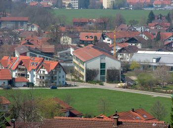
![Tour Zu Fuß Durach - Durach: Rund um Durach - Photo](https://media.geolcdn.com/t/350/260/f8828c59-1475-46ed-b609-9db45b0f6974.jpeg&format=jpg&maxdim=2)
![Zu Fuß Zu Fuß](https://static1.geolcdn.com/sitytour/trail-icons/100.png)
Km
Zu Fuß
![](/images/other/stat-length.png)
![](https://static1.geolcdn.com/siteimages/upload/files/1508320355ic_sort_den_pos_24dp.png)
![](https://static1.geolcdn.com/siteimages/upload/files/1508320355ic_sort_den_neg_24dp.png)
![](https://static1.geolcdn.com/siteimages/upload/files/16400158638029165_repeat_loop_refresh_sync_direction_icon.png)
• Trail created by Gemeindeverwaltung Durach. Symbol: Weißes G1 auf grünem Grund
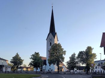
![Tour Zu Fuß Durach - Durach: Sulzberger-See-Runde - Photo](https://media.geolcdn.com/t/350/260/516782e3-e595-4169-b3b8-de94c0c5268d.jpeg&format=jpg&maxdim=2)
![Zu Fuß Zu Fuß](https://static1.geolcdn.com/sitytour/trail-icons/100.png)
Km
Zu Fuß
![](/images/other/stat-length.png)
![](https://static1.geolcdn.com/siteimages/upload/files/1508320355ic_sort_den_pos_24dp.png)
![](https://static1.geolcdn.com/siteimages/upload/files/1508320355ic_sort_den_neg_24dp.png)
![](https://static1.geolcdn.com/siteimages/upload/files/16400158638029165_repeat_loop_refresh_sync_direction_icon.png)
• Trail created by Gemeindeverwaltung Durach. Symbol: Weißes K1 auf rotem Grund
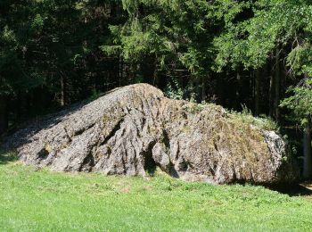
![Tour Zu Fuß Durach - Durach: Bauernfliehburg-Runde - Photo](https://media.geolcdn.com/t/350/260/d1ccf8b0-bc03-43f3-b905-43084e914de3.jpeg&format=jpg&maxdim=2)
![Zu Fuß Zu Fuß](https://static1.geolcdn.com/sitytour/trail-icons/100.png)
Km
Zu Fuß
![](/images/other/stat-length.png)
![](https://static1.geolcdn.com/siteimages/upload/files/1508320355ic_sort_den_pos_24dp.png)
![](https://static1.geolcdn.com/siteimages/upload/files/1508320355ic_sort_den_neg_24dp.png)
![](https://static1.geolcdn.com/siteimages/upload/files/16400158638029165_repeat_loop_refresh_sync_direction_icon.png)
• Trail created by Gemeindeverwaltung Durach. Symbol: Weißes K7 auf rotem Grund
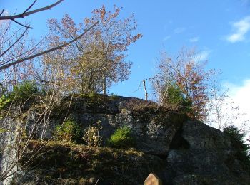
![Tour Zu Fuß Durach - Durach: Geotopweg Dengelstein - Photo](https://media.geolcdn.com/t/350/260/5ff147aa-66b2-44c2-981d-f675927c5719.jpeg&format=jpg&maxdim=2)
![Zu Fuß Zu Fuß](https://static1.geolcdn.com/sitytour/trail-icons/100.png)
Km
Zu Fuß
![](/images/other/stat-length.png)
![](https://static1.geolcdn.com/siteimages/upload/files/1508320355ic_sort_den_pos_24dp.png)
![](https://static1.geolcdn.com/siteimages/upload/files/1508320355ic_sort_den_neg_24dp.png)
![](https://static1.geolcdn.com/siteimages/upload/files/16400158638029165_repeat_loop_refresh_sync_direction_icon.png)
• Trail created by Gemeindeverwaltung Durach. Symbol: Weißes K6 auf rotem Grund
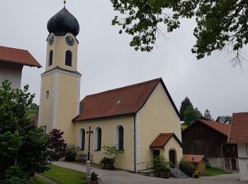
![Tour Zu Fuß Durach - Durach: Rund um den Bodelsberg - Photo](https://media.geolcdn.com/t/350/260/3cd55cb8-eca7-4659-8494-2b128fa1bc4b.jpeg&format=jpg&maxdim=2)
![Zu Fuß Zu Fuß](https://static1.geolcdn.com/sitytour/trail-icons/100.png)
Km
Zu Fuß
![](/images/other/stat-length.png)
![](https://static1.geolcdn.com/siteimages/upload/files/1508320355ic_sort_den_pos_24dp.png)
![](https://static1.geolcdn.com/siteimages/upload/files/1508320355ic_sort_den_neg_24dp.png)
![](https://static1.geolcdn.com/siteimages/upload/files/16400158638029165_repeat_loop_refresh_sync_direction_icon.png)
• Trail created by Gemeindeverwaltung Durach. Symbol: Weißes K8 auf rotem Grund
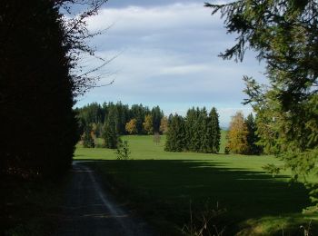
![Tour Zu Fuß Durach - Durach: Findlingsweg - Photo](https://media.geolcdn.com/t/350/260/ccf946e2-fda5-4837-beef-d7cd75508f7b.jpeg&format=jpg&maxdim=2)
![Zu Fuß Zu Fuß](https://static1.geolcdn.com/sitytour/trail-icons/100.png)
Km
Zu Fuß
![](/images/other/stat-length.png)
![](https://static1.geolcdn.com/siteimages/upload/files/1508320355ic_sort_den_pos_24dp.png)
![](https://static1.geolcdn.com/siteimages/upload/files/1508320355ic_sort_den_neg_24dp.png)
![](https://static1.geolcdn.com/siteimages/upload/files/16400158638029165_repeat_loop_refresh_sync_direction_icon.png)
• Trail created by Gemeindeverwaltung Durach. Symbol: Weißes G5 auf grünem Grund
![Tour Zu Fuß Durach - Naturerlebnis Durach: Waldweg - Photo](https://media.geolcdn.com/t/350/260/d1ccf8b0-bc03-43f3-b905-43084e914de3.jpeg&format=jpg&maxdim=2)
![Zu Fuß Zu Fuß](https://static1.geolcdn.com/sitytour/trail-icons/100.png)
Km
Zu Fuß
![](/images/other/stat-length.png)
![](https://static1.geolcdn.com/siteimages/upload/files/1508320355ic_sort_den_pos_24dp.png)
![](https://static1.geolcdn.com/siteimages/upload/files/1508320355ic_sort_den_neg_24dp.png)
![](https://static1.geolcdn.com/siteimages/upload/files/16400158638029165_repeat_loop_refresh_sync_direction_icon.png)
• Trail created by Gemeindeverwaltung Durach. Symbol: Weißes T2 auf blauem Grund
![Tour Zu Fuß Durach - Naturerlebnis Durach: Mythenweg - Photo](https://media.geolcdn.com/t/350/260/ccf946e2-fda5-4837-beef-d7cd75508f7b.jpeg&format=jpg&maxdim=2)
![Zu Fuß Zu Fuß](https://static1.geolcdn.com/sitytour/trail-icons/100.png)
Km
Zu Fuß
![](/images/other/stat-length.png)
![](https://static1.geolcdn.com/siteimages/upload/files/1508320355ic_sort_den_pos_24dp.png)
![](https://static1.geolcdn.com/siteimages/upload/files/1508320355ic_sort_den_neg_24dp.png)
![](https://static1.geolcdn.com/siteimages/upload/files/16400158638029165_repeat_loop_refresh_sync_direction_icon.png)
• Trail created by Gemeindeverwaltung Durach. Symbol: Weißes T1 auf blauem Grund
![Tour Zu Fuß Durach - Durach: Rundweg Neuenburg - Photo](https://media.geolcdn.com/t/350/260/516782e3-e595-4169-b3b8-de94c0c5268d.jpeg&format=jpg&maxdim=2)
![Zu Fuß Zu Fuß](https://static1.geolcdn.com/sitytour/trail-icons/100.png)
Km
Zu Fuß
![](/images/other/stat-length.png)
![](https://static1.geolcdn.com/siteimages/upload/files/1508320355ic_sort_den_pos_24dp.png)
![](https://static1.geolcdn.com/siteimages/upload/files/1508320355ic_sort_den_neg_24dp.png)
![](https://static1.geolcdn.com/siteimages/upload/files/16400158638029165_repeat_loop_refresh_sync_direction_icon.png)
• Trail created by Gemeindeverwaltung Durach. Symbol: Weißes K5 auf rotem Grund
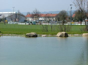
![Tour Zu Fuß Durach - Durach: Schreierwald-Runde - Photo](https://media.geolcdn.com/t/350/260/a92f0811-a372-4391-9aeb-2d4ffdfb5a07.jpeg&format=jpg&maxdim=2)
![Zu Fuß Zu Fuß](https://static1.geolcdn.com/sitytour/trail-icons/100.png)
Km
Zu Fuß
![](/images/other/stat-length.png)
![](https://static1.geolcdn.com/siteimages/upload/files/1508320355ic_sort_den_pos_24dp.png)
![](https://static1.geolcdn.com/siteimages/upload/files/1508320355ic_sort_den_neg_24dp.png)
![](https://static1.geolcdn.com/siteimages/upload/files/16400158638029165_repeat_loop_refresh_sync_direction_icon.png)
• Trail created by Gemeindeverwaltung Durach. Symbol: Weißes K2 auf rotem Grund
![Tour Zu Fuß Durach - Durach: Einkehrweg - Photo](https://media.geolcdn.com/t/350/260/516782e3-e595-4169-b3b8-de94c0c5268d.jpeg&format=jpg&maxdim=2)
![Zu Fuß Zu Fuß](https://static1.geolcdn.com/sitytour/trail-icons/100.png)
Km
Zu Fuß
![](/images/other/stat-length.png)
![](https://static1.geolcdn.com/siteimages/upload/files/1508320355ic_sort_den_pos_24dp.png)
![](https://static1.geolcdn.com/siteimages/upload/files/1508320355ic_sort_den_neg_24dp.png)
![](https://static1.geolcdn.com/siteimages/upload/files/16400158638029165_repeat_loop_refresh_sync_direction_icon.png)
• Trail created by Gemeindeverwaltung Durach. Symbol: Weißes G3 auf grünem Grund
![Tour Zu Fuß Durach - Durach: Panoramaweg - Photo](https://media.geolcdn.com/t/350/260/ec5c4031-2c51-488f-bace-d1fc00bebc3b.jpeg&format=jpg&maxdim=2)
![Zu Fuß Zu Fuß](https://static1.geolcdn.com/sitytour/trail-icons/100.png)
Km
Zu Fuß
![](/images/other/stat-length.png)
![](https://static1.geolcdn.com/siteimages/upload/files/1508320355ic_sort_den_pos_24dp.png)
![](https://static1.geolcdn.com/siteimages/upload/files/1508320355ic_sort_den_neg_24dp.png)
![](https://static1.geolcdn.com/siteimages/upload/files/16400158638029165_repeat_loop_refresh_sync_direction_icon.png)
• Trail created by Gemeindeverwaltung Durach. Symbol: Weißes G2 auf grünem Grund
![Tour Zu Fuß Durach - Durach: Dürrenberg-Runde - Photo](https://media.geolcdn.com/t/350/260/516782e3-e595-4169-b3b8-de94c0c5268d.jpeg&format=jpg&maxdim=2)
![Zu Fuß Zu Fuß](https://static1.geolcdn.com/sitytour/trail-icons/100.png)
Km
Zu Fuß
![](/images/other/stat-length.png)
![](https://static1.geolcdn.com/siteimages/upload/files/1508320355ic_sort_den_pos_24dp.png)
![](https://static1.geolcdn.com/siteimages/upload/files/1508320355ic_sort_den_neg_24dp.png)
![](https://static1.geolcdn.com/siteimages/upload/files/16400158638029165_repeat_loop_refresh_sync_direction_icon.png)
• Trail created by Gemeindeverwaltung Durach. Symbol: Weißes K3 auf rotem Grund
14 Angezeigte Touren bei 14
Kostenlosegpshiking-Anwendung