


3 km | 6,7 km-effort
Unbekannt : Entdecken Sie die besten Touren : 17 zu fuß und 14 wandern. Alle diese Touren, Trails, Routen und Outdoor-Aktivitäten sind in unseren SityTrail-Apps für Smartphones und Tablets verfügbar.
Zu Fuß


• Symbol: weiss-rot-weiss
Zu Fuß
• Symbol: weiss-rot-weiss
Zu Fuß
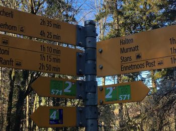
• Ennetmoos - Kerns
Zu Fuß
• Banalp / Chrüzhütte - Bannalper Schonegg
Zu Fuß
• Ränggpass - Lopperberg Symbol: weiss-rot-weiss
Zu Fuß
• Diegischbalm - Nechimatt
Zu Fuß
• Jochpass - Trübsee
Zu Fuß
• Trail created by Tourismus Wolfenschiessen.
Zu Fuß
• Symbol: weisse 571 mit zwei Kreisen ineinander die mit 6 Spitzen verbunden sind
Zu Fuß
Zu Fuß
• Wandeli - Fulberg Symbol: weiss-rot-weiss
Zu Fuß
• Trail created by Schwyzer Wanderwege. Tritthütte - Cholstrasse Symbol: weiss-rot-weiss
Zu Fuß
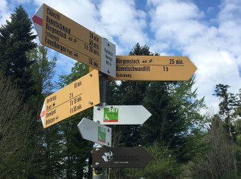
• Bürgenberg - Ätschenried Symbol: gelber Diamant (waagrecht)

Zu Fuß
• Symbol: weiss-rot-weiss
Zu Fuß
• Symbol: weiss-rot-weiss
Zu Fuß
• Ächerli - Wirzweli Symbol: weiss-rot-weiss
Zu Fuß
• Bürgenberg - Obbürgen Symbol: gelber Diamant (waagrecht)

Wandern

Wandern
•
Wandern
•
20 Angezeigte Touren bei 31
Kostenlosegpshiking-Anwendung
 SityTrail
IGN / Geografische Institute
SityTrail World
Die Welt öffnet sich für Sie