


10,8 km | 25 km-effort
Bern : Entdecken Sie die besten Touren : 201 zu fuß, 199 wandern, 2 laufen und 2 pfad. Alle diese Touren, Trails, Routen und Outdoor-Aktivitäten sind in unseren SityTrail-Apps für Smartphones und Tablets verfügbar.
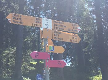
Wandern


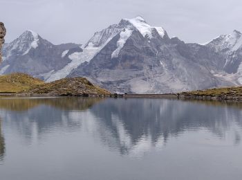
Wandern
Wandern
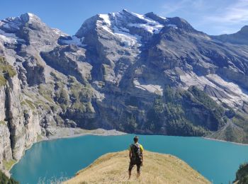
Zu Fuß
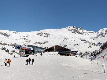
• Website: https://www.meiringen-hasliberg.ch/en/Summer/Muggestutz
Zu Fuß
• Trail created by Bergbahnen Meiringen-Hasliberg AG. Website: https://www.meiringen-hasliberg.ch/de/Sommer/Wandern/...
Zu Fuß
• Trail created by Verein Berner Wanderwege.
Zu Fuß
• Trail created by Verein Berner Wanderwege.
Zu Fuß
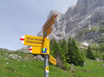
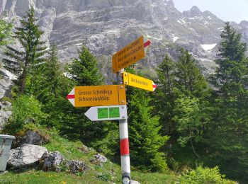
• Symbol: gelber Rhombus
Zu Fuß
• Symbol: gelber Rhombus
Zu Fuß
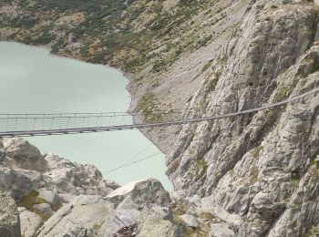
• Abzweigung Gleckstein - Glecksteinhütte Symbol: weiss-rot-weiss
Zu Fuß
• Unterlauchbühl - Bort Symbol: Gelber Rhombus
Zu Fuß
• Symbol: weiss-rot-weiss
Zu Fuß
• Symbol: gelbe Raute
Zu Fuß
• Symbol: gelbe Raute
Zu Fuß
• Trail created by Berner Wanderwege. Grütschalp - Isenfluh Symbol: gelbe Raute
Zu Fuß
• Trail created by Berner Wanderwege. Isenfluh - Alpweg Symbol: gelbe Raute
Zu Fuß
• Rote Härd-Sefinenfurgge Symbol: weiss-rot-weiss
Zu Fuß
• Symbol: gelbe Raute
Zu Fuß
• Symbol: gelbe Raute
Zu Fuß
• Symbol: gelbe Raute
20 Angezeigte Touren bei 404
Kostenlosegpshiking-Anwendung
 SityTrail
IGN / Geografische Institute
SityTrail World
Die Welt öffnet sich für Sie