


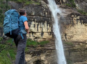
8,9 km | 23 km-effort
Waadt : Entdecken Sie die besten Touren : 51 zu fuß, 394 wandern, 6 nordic walking, 16 laufen und 3 pfad. Alle diese Touren, Trails, Routen und Outdoor-Aktivitäten sind in unseren SityTrail-Apps für Smartphones und Tablets verfügbar.
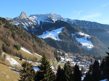
Wandern


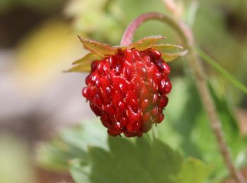
Wandern

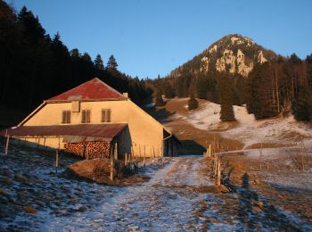
Wandern
•
Wandern
Wandern
Zu Fuß
• Trail created by http://www.echallens-tourisme.ch/.
Zu Fuß
• Trail created by Station des Rousses.
Zu Fuß
• Symbol: losange jaune
Zu Fuß
• fixme - fixme Symbol: losange jaune

Zu Fuß
• Trail created by Service des forêts, domaines et vignobles.
Zu Fuß
• Symbol: gelber Diamant
Zu Fuß
• Symbol: gelber Diamant
Zu Fuß
• Symbol: gelbe Raute
Zu Fuß
• Symbol: losange jaune
Zu Fuß
• Les Rochats-La Baronne Symbol: losange jaune
Zu Fuß
• Trail created by Association Vaudoise du Toursime Pédestre.
Zu Fuß
• Trail created by Narcisses Riviera. Website: http://www.narcisses.ch/narcisse_parcours_avants.php
Zu Fuß
• Symbol: losange jaune
Zu Fuß
• Symbol: losange jaune
Zu Fuß
• Symbol: losange jaune
20 Angezeigte Touren bei 469
Kostenlosegpshiking-Anwendung
 SityTrail
IGN / Geografische Institute
SityTrail World
Die Welt öffnet sich für Sie