


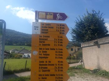
4 km | 8,9 km-effort
Haute-Sorne : Entdecken Sie die besten Touren : 9 zu fuß und 1 wandern. Alle diese Touren, Trails, Routen und Outdoor-Aktivitäten sind in unseren SityTrail-Apps für Smartphones und Tablets verfügbar.
Zu Fuß


• Berlincourt - fixme Symbol: gelber Diamant
Zu Fuß
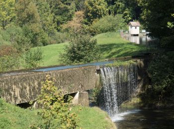
• Berlincourt - La Racine Symbol: gelber Diamant
Zu Fuß
• Undervelier - Berlincourt Symbol: gelber Diamant
Zu Fuß
• Glovelier-St.Ursanne

Zu Fuß
• Symbol: gelber Diamant
Zu Fuß
• Symbol: gelbe Raute
Zu Fuß
• Symbol: gelber Diamant
Zu Fuß
• Symbol: gelber Diamant
Zu Fuß
• Symbol: gelber Diamant

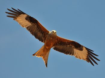
Wandern
10 Angezeigte Touren bei 10
Kostenlosegpshiking-Anwendung
 SityTrail
IGN / Geografische Institute
SityTrail World
Die Welt öffnet sich für Sie