


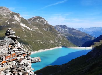
11,5 km | 19,5 km-effort
Siders : Entdecken Sie die besten Touren : 13 zu fuß, 166 wandern, 13 nordic walking, 5 laufen und 1 pfad. Alle diese Touren, Trails, Routen und Outdoor-Aktivitäten sind in unseren SityTrail-Apps für Smartphones und Tablets verfügbar.
Wandern


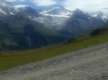
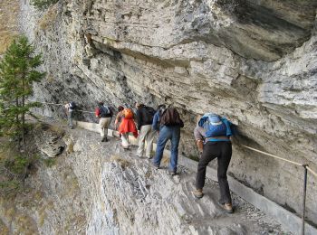
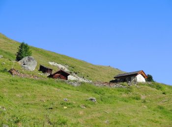
• Start at top of cable train St LucL
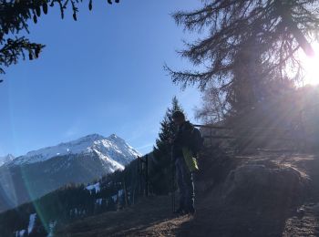
Wandern
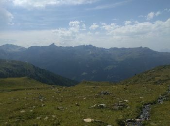
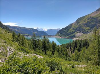
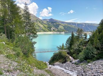
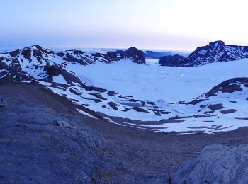
• Start at top of cable car Grimentz Sorebois
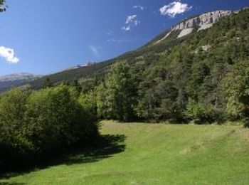
Wandern
Zu Fuß
• Montagne du Plan - Trubelstock

Zu Fuß
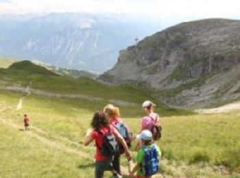
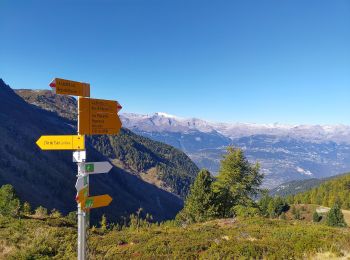
• Chandolin-St Luc
Zu Fuß
• Cran - Er de Chermignon (Ancien bisse du Ro)
Zu Fuß
• Pra du taillour-Pas de l'ours
Zu Fuß
• Er de Chermignon-Pra du Taillour
Zu Fuß
• Les Planards-L'Ar du Tsan

Zu Fuß
• La Lé-refuge du Bisse
Zu Fuß
• Symbol: weiss-rot-weiss
Zu Fuß
• Symbol: weiss-rot-weiss

Wandern
Wandern
Wandern
Wandern
Wandern
Wandern
Wandern
Wandern
20 Angezeigte Touren bei 198
Kostenlosegpshiking-Anwendung
 SityTrail
IGN / Geografische Institute
SityTrail World
Die Welt öffnet sich für Sie