


12,8 km | 13,8 km-effort
Tienen : Entdecken Sie die besten Touren : 20 zu fuß und 9 wandern. Alle diese Touren, Trails, Routen und Outdoor-Aktivitäten sind in unseren SityTrail-Apps für Smartphones und Tablets verfügbar.

Wandern


Zu Fuß
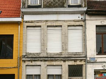
• Trail created by Toerisme Tienen.
Zu Fuß
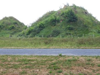
• Trail created by dienst Toerisme Tienen.
Zu Fuß
• Trail created by dienst Toerisme Tienen.
Zu Fuß
• Trail created by dienst Toerisme Tienen.
Zu Fuß
• Trail created by dienst Toerisme Tienen.
Zu Fuß
• Trail created by Dienst Toerisme Tienen.
Zu Fuß
• Trail created by dienst Toerisme Tienen.
Zu Fuß
• Trail created by dienst Toerisme Tienen.
Zu Fuß
• Trail created by Provincie Vlaams Brabant.
Zu Fuß
• Trail created by dienst Toerisme Tienen.
Zu Fuß
• Trail created by dienst Toerisme Tienen.
Zu Fuß
• Trail created by Tiense Wandelbrochure.
Zu Fuß
• Trail created by dienst Toerisme Tienen.
Wandern
Zu Fuß
• Trail created by dienst Toerisme Tienen.
Zu Fuß
• Trail created by Toerisme Tienen.
Zu Fuß
• Trail created by Toerisme Tienen.
Zu Fuß
• Trail created by Toerisme Vlaams-Brabant.
Zu Fuß
20 Angezeigte Touren bei 29
Kostenlosegpshiking-Anwendung
 SityTrail
IGN / Geografische Institute
SityTrail World
Die Welt öffnet sich für Sie