


24 km | 26 km-effort
Ath : Entdecken Sie die besten Touren : 11 zu fuß, 106 wandern, 2 nordic walking, 4 laufen und 1 pfad. Alle diese Touren, Trails, Routen und Outdoor-Aktivitäten sind in unseren SityTrail-Apps für Smartphones und Tablets verfügbar.
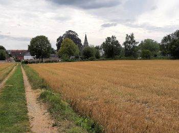
Wandern


Wandern

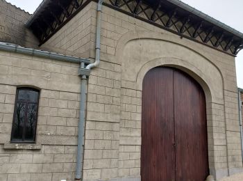
Zu Fuß
• Trail created by Wallonie Picarde (Antenne Tournai) .

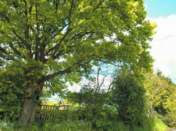
Zu Fuß
• Trail created by Wallonie Picarde (Antenne Tournai) .
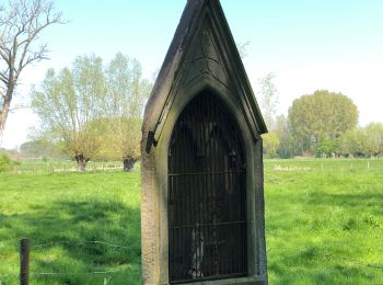
Zu Fuß
• Trail created by Wallonie Picarde (Antenne Tournai) .

Zu Fuß
• Trail created by Wallonie Picarde (Antenne Tournai) .
Zu Fuß
• Trail created by Wallonie Picarde (Antenne Tournai) .

Zu Fuß
• Trail created by Wallonie Picarde (Antenne Tournai) .
Wandern
Wandern
Zu Fuß
• Trail created by Wallonie Picarde (Antenne Tournai) .

Wandern
Wandern

Wandern
Wandern
Wandern
Wandern

Laufen
Wandern
Wandern
20 Angezeigte Touren bei 124
Kostenlosegpshiking-Anwendung
 SityTrail
IGN / Geografische Institute
SityTrail World
Die Welt öffnet sich für Sie