


18,6 km | 25 km-effort
Herbeumont : Entdecken Sie die besten Touren : 25 zu fuß, 211 wandern, 10 nordic walking, 4 laufen und 1 pfad. Alle diese Touren, Trails, Routen und Outdoor-Aktivitäten sind in unseren SityTrail-Apps für Smartphones und Tablets verfügbar.
Wandern


Wandern
Wandern
Wandern
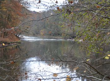
Wandern
• Balade très agréable et variée dans une vallée mystérieuse. Le sentier serpente dans la vallée du ruisseau des Burzai...
Laufen
• parcours bleu
Wandern
Wandern
Zu Fuß
• Trail created by Royal Syndicat d'Initiative d'Herbeumont.
Zu Fuß
• Trail created by Royal Syndicat d'Initiative d'Herbeumont.
Zu Fuß
• Trail created by Royal Syndicat d'Initiative d'Herbeumont.
Zu Fuß
• Trail created by Royal Syndicat d'Initiative d'Herbeumont.

Zu Fuß
• Trail created by Pays de Bouillon en Ardenne.
Zu Fuß
• Trail created by Pays de Bouillon en Ardenne. Wagen Sie sich auf diese schöne Wanderung, die zunächst sehr einfac...

Zu Fuß
• Trail created by Pays de Bouillon en Ardenne.

Zu Fuß
• Trail created by Pays de Bouillon en Ardenne. Eine leichte, vollständig asphaltierte Wanderung, die Sie auf die H...
Zu Fuß
• Trail created by Pays de Bouillon en Ardenne. Der Höhepunkt der Wanderung liegt am tiefsten Punkt: der Mündung de...
Zu Fuß
Wandern
Wandern
20 Angezeigte Touren bei 249
Kostenlosegpshiking-Anwendung
 SityTrail
IGN / Geografische Institute
SityTrail World
Die Welt öffnet sich für Sie